
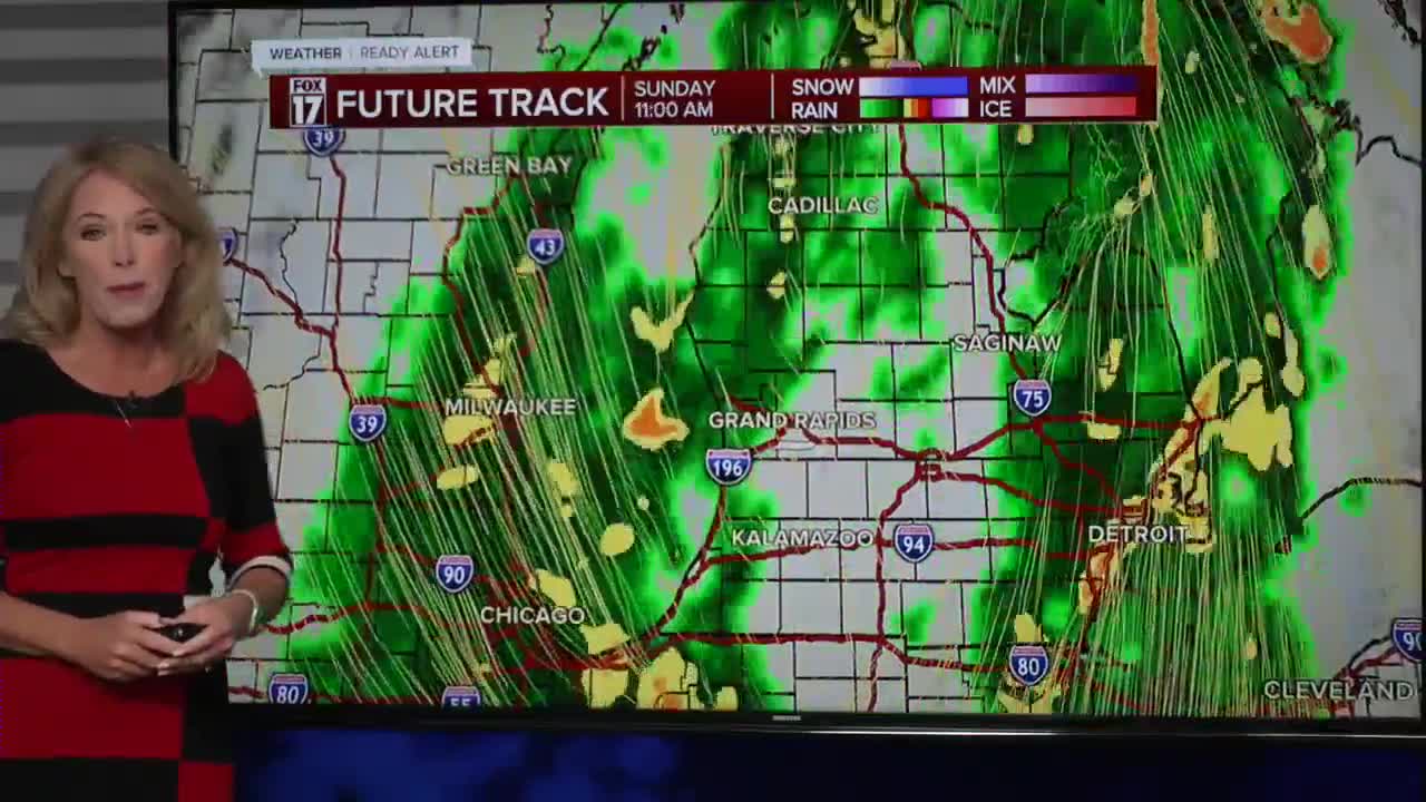


WEST MICHIGAN — The forecast from FOX 17 Weather Ready Meteorologist Terri DeBoer: Widespread showers and storms are moving back into West Michigan this evening and will produce locally heavy pockets of rain tonight into Sunday. Some of the storms will contain strong winds and hail along with frequent lightning. There is an outside chance of a brief "spin-up" tornado, as radar is indicating a few areas of rotation within some of these storms. While most of the storms will not reach severe criteria, the heavy rain could produce some localized flooding. Ponding of water is likely on many area roadways Saturday night into Sunday. This much-needed rain to help chip away at the moderate to severe drought that has built into most of the Lower Peninsula. Sunday will be a cool and blustery day, with wind gusts that could be 30-40 mph in the afternoon. The active weather continues next week, with additional rain periods of rain as a much cooler pattern sets up for the region.Stay with the FOX 17 Weather Ready Team for your latest forecast updates.
TONIGHT: Showers and thunderstorms are likely this evening and tonight. Widespread heavy rain is likely. Lows in the low 50s WINDS: SW 10-20 mph *SMALL CRAFT ADVISORY*
SUNDAY: Windy and much cooler with scattered rain showers. Windy with gusts over 40 mph possible. Highs in the upper 50s. *GALE WARNING*
MONDAY: Mostly sunny. Highs in the low 60s.
TUESDAY: Mostly cloudy with rain showers early. Highs around 60.
WEDNESDAY: Mostly cloudy with a chance of showers. Highs in the low 50s.
THURSDAY: Cloudy and cool. Highs in the low 50s.
FRIDAY: Partly cloudy and not as cool, with highs in the low 60s.
SATURDAY: Partly cloudy and pleasant. Highs near 60
For the latest details on the weather in West Michigan, head to the FOX 17 Weather page.
Follow FOX 17: Facebook - X (formerly Twitter) - Instagram - YouTube
