

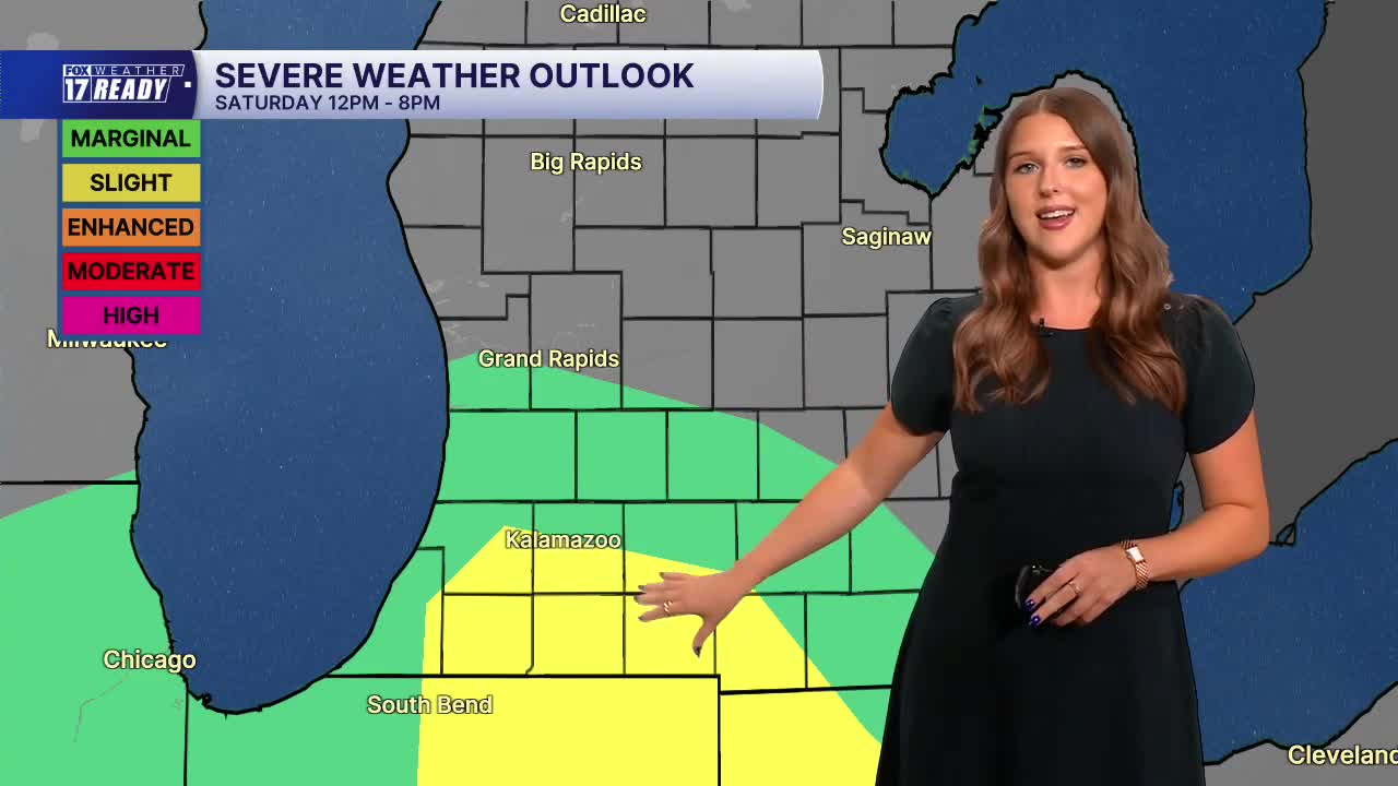



WEST MICHIGAN — The forecast from FOX 17 Weather Ready Meteorologist Gracyn Freund: More clouds will be building in tonight with a chance for a few spotty showers, and temperatures will stay warm only falling to the mid to upper 60s. We have a soggy weekend on tap with waves of showers and thunderstorms expected Saturday and Sunday. Saturday will be mostly cloudy with scattered showers and storms through much of the day. Areas south of Grand Rapids are included in a Marginal Risk (level 1/5) for isolated severe storms on Saturday, with a Slight Risk (level 2/5) in place for I-94 and south. Damaging wind gusts and heavy rain are the main threats but we can't rule out a brief spin-up tornado, especially in the Slight Risk area. Another round of showers and storms will be possible into the day Sunday, but this system should depart by the later half of the day. It will be a muggy weekend with high humidity and temperatures up around 80 degrees. The start of next week will be dry and more comfortable with sunshine on the way Monday and Tuesday, and lower humidity. Rain and storm chances return on Wednesday.
TONIGHT: Increasing clouds with chance few spotty showers. Lows in the mid/upper 60s. Wind E at 5-10 mph.
SATURDAY: Mostly cloudy with scattered showers and thunderstorms, a few severe storms possible south of I-96. Highs in the upper 70s and humid. Wind E/SE at 10-15 mph.
SUNDAY: Partly to mostly cloudy with chance showers/thunderstorms. Highs in the low 80s and very humid.
MONDAY: Mostly sunny with highs in the upper 70s and lower humidity.
TUESDAY: Mostly sunny with highs around 80 and lower humidity.
WEDNESDAY: Mostly cloudy with chance showers/thunderstorms. Highs around 80.
THURSDAY: Partly cloudy with highs in the upper 70s.
FRIDAY: Partly cloudy with highs in the upper 70s.
Want alerts when inconvenient or severe weather is headed your way? Download the FOX 17 Weather app and set up notifications for where you live.
For the latest details on the weather in West Michigan, head to the FOX 17 Weather page.
Follow FOX 17: Facebook - X (formerly Twitter) - Instagram - YouTube
