
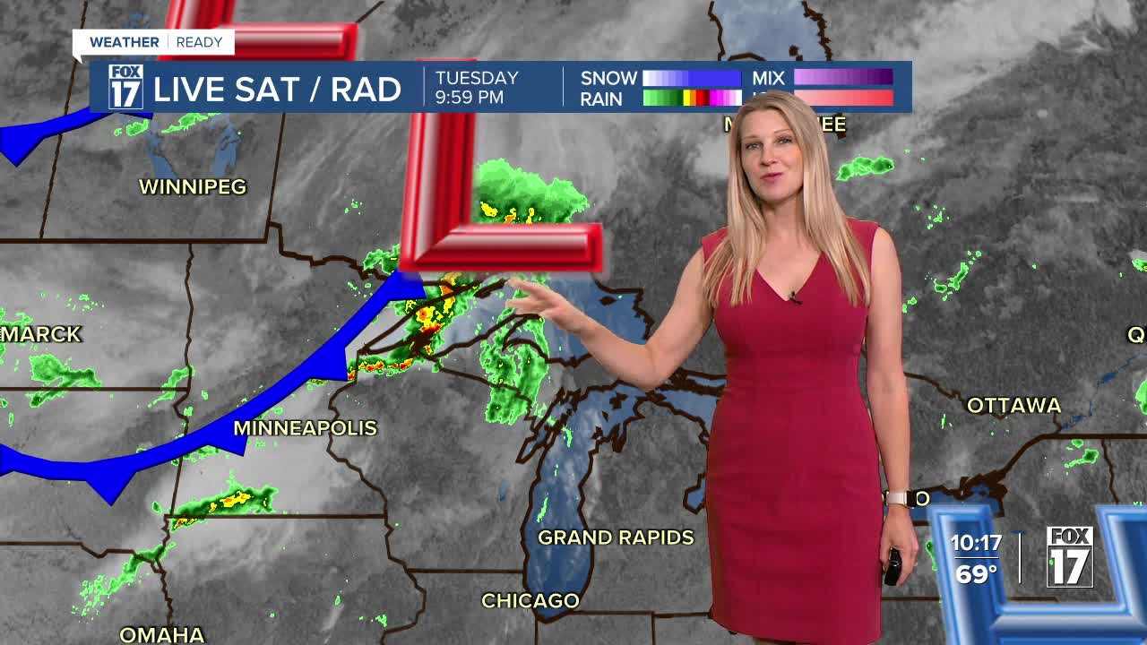


The forecast from FOX 17 Weather Ready Meteorologist Kara James: Temps stay in the mid-50s tonight ahead of our next system, one of two through the rest of this work week. A strong cold front pushes through West Michigan tomorrow, ushering in a huge pattern change. Clouds and wind will be on the increase during the day, with widespread showers and a few thunderstorms likely in the afternoon and evening. Showers south and east of Grand Rapids will likely continue overnight. Sharply colder air will race in behind the front, with temperatures dropping to mid-October levels. That means mid-60s during the day and 40s at night! It will also be very breezy, with winds sustained at 15 mph most days and gusts up to 25 mph. The colder air will linger into the weekend, with occasional pockets of rain Thursday and again Friday with a reinforcing cold front. At this point, the weekend is looking mainly dry and cool. Stay tuned to the FOX 17 Weather Ready Team for your latest forecast updates.
TONIGHT: Clear to partly cloudy. Lows in the 50s. WINDS: W 5-10 mph
WEDNESDAY: Partly sunny early, but the clouds will thicken with rain and thunderstorms building in late day and overnight. Highs in the upper 70s. WINDS: SW 10-20 mph
THURSDAY: Breezy and much cooler. Stray shower, but most stay dry. Highs in the low 60s.
FRIDAY: Windy much cooler. Rain showers possible. Highs in the low 60s.
SATURDAY: Mostly dry. Slight chance shower mainly along the lakeshore. Remaining cool. Highs in the mid 60s.
SUNDAY: Partly cloudy. Cool and quiet. Highs in the upper 60s.
MONDAY: Mostly sunny. Not as chilly. Highs in the low 70s.
TUESDAY: Partly cloudy and pleasant. Highs in the mid-70s.
For the latest details on the weather in West Michigan, head to the FOX 17 Weather page.
Follow FOX 17: Facebook - X (formerly Twitter) - Instagram - YouTube
