


WEST MICHIGAN — The Fox17 Weather Ready Team is issuing Weather Ready Alert days for both Saturday and Sunday due to heavy downpours and brief thunderstorms. These will be on and off throughout most of the weekend, likely impacting any outdoor plans you may have. You may want to have an indoor backup plan just in case, especially on Sunday.
A large Fall low pressure system is moving across the Upper Midwest and will pass through West Michigan on Sunday. Ahead of the front, it's warm, humid and breezy. Scattered showers and thunderstorms will begin Saturday morning, with heavier downpours and breezy northwest winds building in late Saturday night and Sunday.
TIMING:
Scattered showers and a few rumbles of thunder will build in ahead of the front early Saturday morning. These will be on and off during the day, so there will be some dry time in between rounds of rain and storms.

While severe storms are not anticipated, a few thunderstorms with brief strong gusty winds will be possible in the afternoon and evening, especially between the Indiana state line and I-94.

The heaviest downpours will move in late Saturday evening. These could cause minor ponding and street flooding in areas that are lower lying or have poor drainage.

Heavy downpours continue through Sunday morning, with few breaks. Winds will start to increase as well, switching from southwest to northwest behind the cold front. The stat of the Grand Rapids Marathon and Half Marathon will be wet, windy and chilly.

Chilly, wind-driven rain continues through the day Sunday, gradually wrapping up from west to east in the late afternoon and early evening.

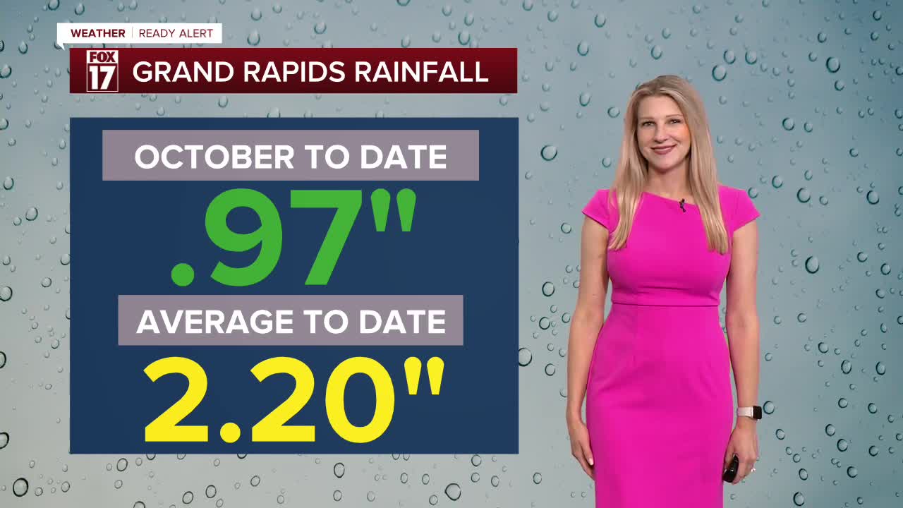
Rain totals will be substantial across West Michigan, likely in the 1-2" range with isolated higher totals. This will go a long way to help reduce the incredible drought conditions that have built in over the last few months. Grand Rapids, Holland, and Muskegon range from -6 to -9" in terms of rainfall deficit for the year.

Wind gusts will pick up behind the cold front on Sunday, and they will be quite strong. The lakeshore could have gusts of 40-45 mph, while inland it will be more like 30-35 mph. There is a Gale Watch Sunday morning through Sunday evening to account for the gusty winds and 7-12 foot waves.

For the latest details on the weather in West Michigan, head to the FOX 17 Weather page.
Follow FOX 17: Facebook - X (formerly Twitter) - Instagram - YouTube
