
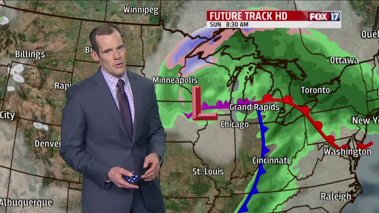


WEST MICHIGAN — The forecast from FOX17 Meteorologist Ty Shesky: Clouds will quickly thicken this evening and showers will develop ahead of an approaching warm front and associated area of low pressure in the central Plains. This front will continue to reside to our south on Saturday, keeping showers possible with some rumbles of thunder possible. As this warm front clears at least the southern third of the forecast area on Saturday night, temperatures will continue to climb and it could be unstable enough for a few strong to severe storms. The best chance of that will be along I-94 and points south. A cold front will clear the area in the wee hours of the morning on Sunday resulting in a windy, cooler, and showery second half of the weekend.
TONIGHT: Mostly cloudy. Showers developing. Lows around 40. East/northeast winds at 5 to 10 mph increasing to 10 to 15 mph late.
TOMORROW: Periods of rain with a few embedded non-severe storms possible in the afternoon as well. Breezy with afternoon highs in the lower to middle 50s. East winds at 10 to 15 mph.
TOMORROW NIGHT: Evening showers and thunderstorms likely, with scattered showers still possible after 2am. Temperatures will climb to near 60 by midnight, then slowly fall after 2am. Southeast winds at 10 to 20 mph, becoming south/southwest late.
SUNDAY: Windy and cooler with showers likely. Temperatures will begin the day in the mid to upper 50s, but drop into the mid to upper 40s by late afternoon. Southwest winds at 20 to 30 mph, gusting to 40 mph.
