
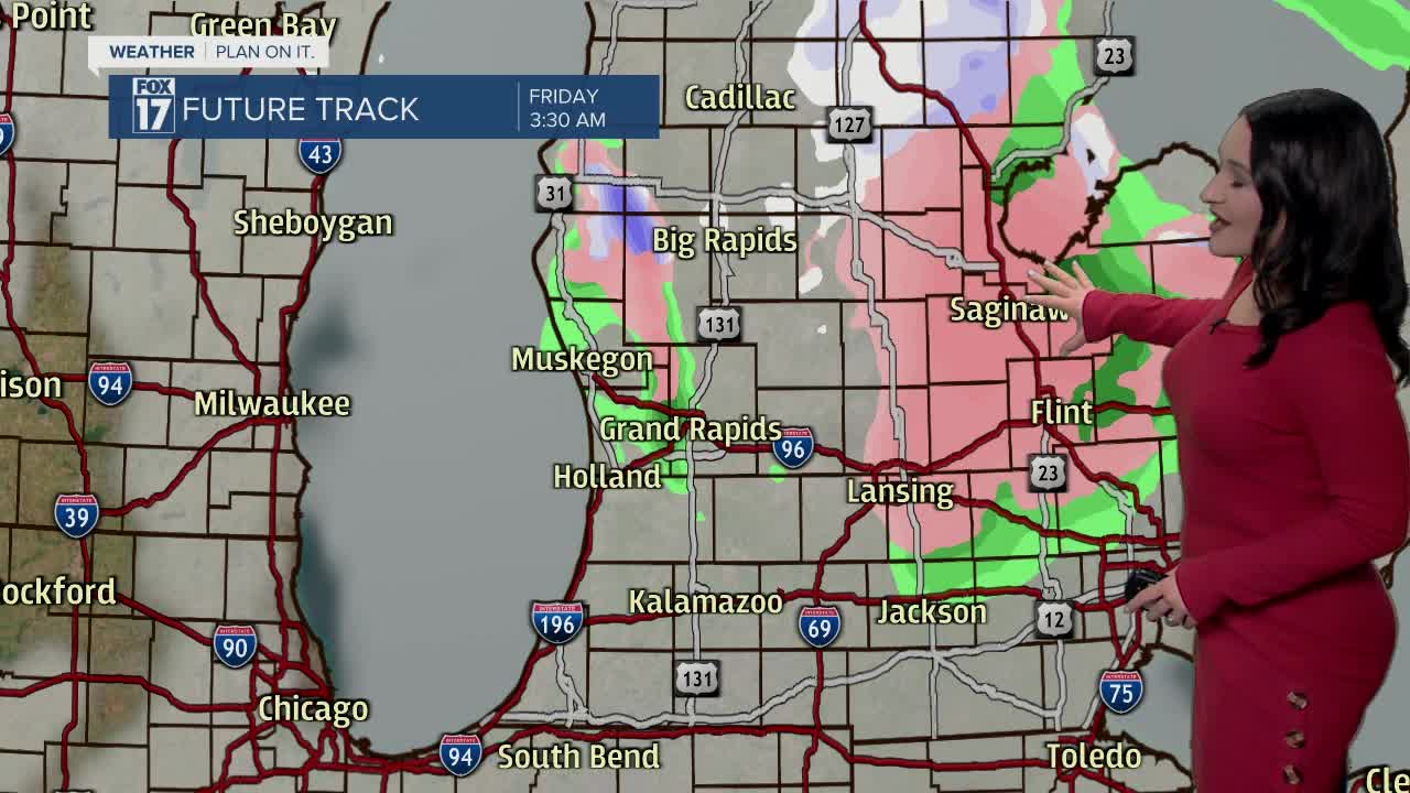


WEST MICHIGAN — The forecast from FOX 17 Meteorologist Haleigh Vaughn: Cooler air and strong wind gusts are sweeping into West Michigan tonight, which is transitioning light rain over to a wintry mix. Winds will be strong from the northwest tonight with gusts exceeding 35 mph. All precipitation will become snow for Friday with minor accumulations expected with lake enhancement possible. Most communities in West Michigan will see up to 1" of snow accumulation by Friday evening. High pressure arrives this weekend, delivering plenty of sunshine both Saturday and Sunday. Temperatures will be above average this weekend, as well. There will be several days over the forecast period with high temperatures in the 40s. Cloud cover increases for the start of next week, along with the chance of rain arriving late Tuesday night. Stay tuned for updates and download the free FOX 17 Weather App for the latest forecast video.
TONIGHT: Cloudy with rain transitioning to light snow showers. Winds decreasing a bit. Lows in the lower 30s. Winds west/northwest at 10 to 20 mph.
FRIDAY: Scattered light snow showers possible with lake enhancement and mostly cloudy skies. Highs in the middle 30s. Winds west-northwest at 10 to 15 mph.
SATURDAY: Sunny skies and seasonable. Highs in the middle 30s.
SUNDAY: Partly cloudy and a bit warmer. Highs in the lower 40s.
MONDAY: Mostly cloudy. Highs in the lower 40s.
TUESDAY: Mostly cloudy with rain developing in the evening. Highs in the upper 40s.
WEDNESDAY: Cloudy with rain showers. Highs in the upper 40s.
For the latest details on the weather in West Michigan, head to the FOX 17 Weather page.
