


WEST MICHIGAN — The forecast from FOX 17 Weather Ready Meteorologist Terri DeBoer: Dry air is finally working into West Michigan following what was a very wet weekend. Skies will clear overnight, leading to a sunny but chilly start to Monday morning. Most areas picked up 1-3 inches of rain from the back-to-back days of weekend rain, with some areas receiving more than four inches of rain. Fortunately, the ground was so dry due to the several dry months and drought conditions, widespread flooding was not a major concern. Ponding of water is possible on some area roadways. This much-needed rain will to help chip away at the moderate to severe drought that has built into most of the Lower Peninsula. Sunshine returns for Monday, with scattered rain showers returning again for Tuesday and Wednesday as a much cooler pattern sets up for the region. Stay with the FOX 17 Weather Ready Team for your latest forecast updates.
TONIGHT: Clearing and colder. Lows in the low 40s. Winds: NW 5-10 mph
MONDAY: Mostly sunny. Cool and quiet. Highs near 60-degrees. Winds: W-SW 5-15 mph
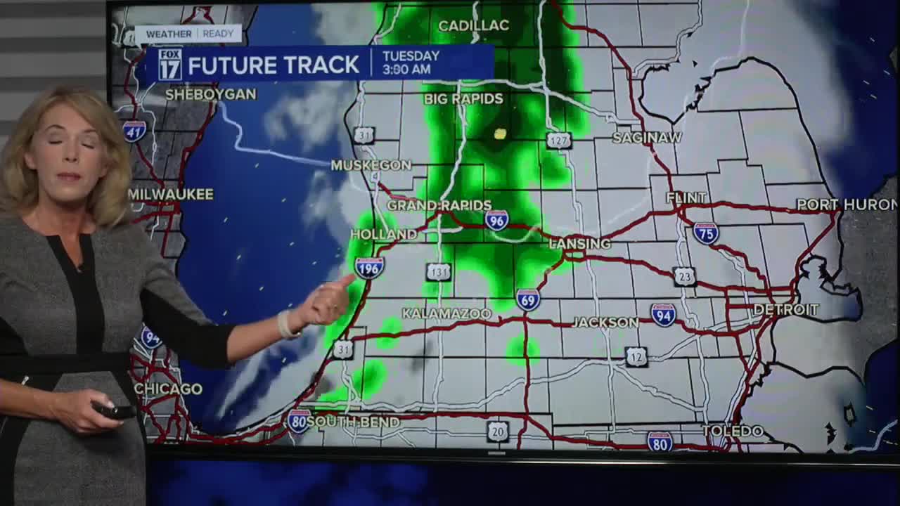
TUESDAY: Becoming windy with rain showers developing. Highs in the low 50s.
WEDNESDAY: Breezy and colder with a chance of showers. Highs around 50-degrees.
THURSDAY: Scattered morning showers. Chilly. Highs around 50-degrees.
FRIDAY: Partly cloudy and cool. Highs in the low 50s.
SATURDAY: Partly cloudy and pleasant. Highs in the mid-50s.
SUNDAY: Partly cloudy. Pleasant. Highs may approach 60-degrees.
For the latest details on the weather in West Michigan, head to the FOX 17 Weather page.
Follow FOX 17: Facebook - X (formerly Twitter) - Instagram - YouTube
