
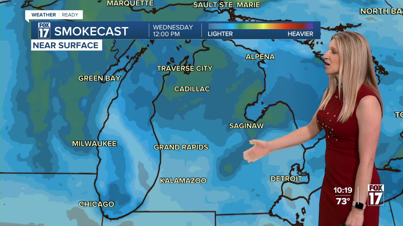


The forecast from FOX 17 Weather Ready Meteorologist Kara James: A statewide AIR QUALITY ADVISORY remains in effect through Tuesday night due to Canadian wildfire smoke. Fires are burning out of control in Canada, and the upper level atmospheric winds continue to stream the smoke near the surface in West Michigan. As smoke thins Wednesday and beyond, highs will warm up a few degrees each day as the high pressure nudges east. But even as temperatures climb into the mid-80s, humidity levels will remain comfortable until Thursday. The heat and humidity will surge later this week, with highs approaching 90-degrees by the end of the week. Another heat wave appears to be in sight to finish the week into the weekend. At the same time, rain chances remain very low through the weekend. Several counties across West Michigan are facing drought conditions, which will be worsening in the days ahead. We may be able to start seeing the Perseid Meteors in the coming days, but they don't peak until August 12/13. This is an annual event and stems from debris from the tail of the comet Swift Tuttle. Stay tuned to the FOX 17 Weather Ready Team for your latest forecast updates.
TONIGHT: Clear and comfortable. Lows near 60. Winds: E 5-10 mph
TUESDAY: Smoky sunshine with an AIR QUALITY ADVISORY. Warmer. Highs in the mid to upper 80s. Winds: E 5-10 mph
WEDNESDAY: Partly cloudy, warm, and bit humid. Slight chance isolated shower or thunderstorm, mainly east of US-131. Highs in the mid/upper 80s.
THURSDAY: Mostly sunny to partly cloudy. Warmer and muggier. Highs in the mid/upper 80s.
FRIDAY: Mostly Sunny; Hot and Muggy. Highs near 90.
SATURDAY: Mostly Sunny; Hot and Muggy. Highs near 90.
SUNDAY: Mostly Sunny. Hot and Muggy. Highs near 90.
MONDAY: Partly cloudy. Very warm. Highs in the mid-upper 80s.
For the latest details on the weather in West Michigan, head to the FOX 17 Weather page.
Follow FOX 17: Facebook - X (formerly Twitter) - Instagram - YouTube
