


The forecast from FOX 17 Weather Ready Meteorologist Terri DeBoer: An active forecast is expected this week in West Michigan, a big change from the recent dry and warm weather of late. Scattered showers and storms continue overnight, but the threat of severe weather is low. Additional periods of rain and thunderstorms are expected into Tuesday, but will be scattered in nature. An upper low spinning through the Great Lakes this week will keep our weather cloudy and cooler, but humid with periods of rain and thunderstorms. It will not be a wash out though, with many hours of dry time in between rain and storms. Fall officially began at 2:19 P.M. today, with the Autumnal Equinox! Just on cue for the change in seasons, the arrival of a cooler air mass will bring temperatures back to "near normal" levels for the week, with highs in the 70s and lows in the 50s. Make sure to stay with the FOX 17 Weather Ready Team for your latest forecast updates.

Here is the link to the Fox 17 Weather Ready Radar
MONDAY (FALL EQUINOX arrives at 2:19 P.M.): Partly cloudy. Scattered light showers and thundershowers. Highs in the mid/upper 70s. Winds: SW 5 - 10 mph
TONIGHT: Few showers and thunderstorms. A few could be on the stronger side, with brief gusty winds and small hail. Lows around 60. Winds: SE 5-10 mph
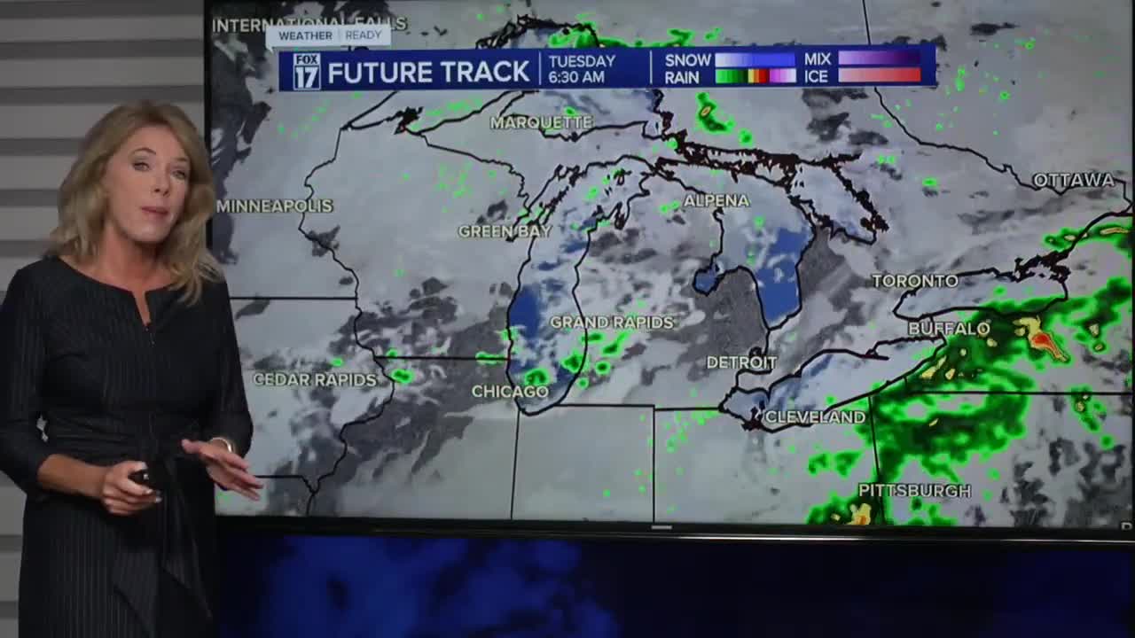
TUESDAY: Mostly cloudy with a chance of showers and thunderstorms. Highs in the mid 70s.
WEDNESDAY: Partly cloudy. Rain chances increase late in the day. Highs in the mid 70s.
THURSDAY: Partly cloudy with highs in the low 70s. Slight chance of a shower.
FRIDAY: Mostly sunny with highs in the mid 70s.
SATURDAY: Partly cloudy. Highs in the low-mid 70s.
SUNDAY: Partly cloudy. Highs in the low-mid 70s.
For the latest details on the weather in West Michigan, head to the FOX 17 Weather page.
Follow FOX 17: Facebook - X (formerly Twitter) - Instagram - YouTube
