


WEST MICHIGAN — The forecast from FOX 17 Meteorologist Anthony Domol: Clouds return Saturday morning before a cold front sweeps through, producing light snow showers. Locations along and north of I-96 have the best chance of seeing 1 to 2 inches of snow accumulation, with less than an inch south of I-96. Winds will also be a key factor on Saturday, producing blowing and drifting snow, along with reduced visibility. Winds will range between 10 to 20 mph from the southwest/west, with wind gusts exceeding 30 mph. Additional snow showers move in for Sunday and Monday. As of now, Monday brings the best chance for widespread snow accumulation. The highest totals look to be along the lakeshore. Stay tuned for updates on snow totals! Bundle up, stay safe and warm.
TONIGHT: Mostly clear evening, increasing clouds overnight. Lows around 10. South winds near 5 mph.
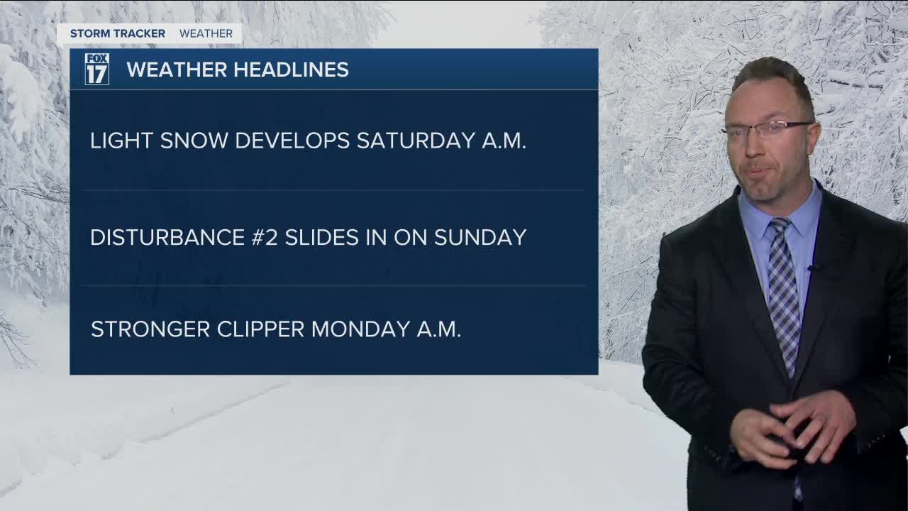
TOMORROW / SATURDAY: Mostly cloudy with light snow developing. About 1" to 3" possible with the highest amounts north/west of Grand Rapids. Lighter amounts south/east. Highs in the mid 20s. Southwest/west wind at 10 to 20 mph, wind gusts exceeding 30 mph.
SATURDAY NIGHT: Mostly cloudy. Scattered flurries build into light snow showers overnight. Lows near 10.
SUNDAY: Mostly cloudy with light snow showers possible. North/northwest wind at 5-10 mph. Highs in the upper teens.
MONDAY: Mostly cloudy with more accumulating snow chances. Highs in the middle 20s.
TUESDAY: Mostly cloudy with lake-effect snow west of US-131. Highs in the upper teens.
For the latest details on the weather in West Michigan, head to the FOX 17 Weather page.
Follow FOX 17: Facebook - Twitter - Instagram - YouTube
Meet the FOX 17 Team: