
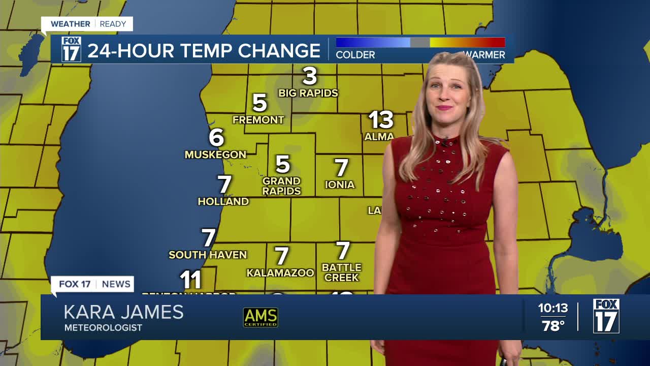


WEST MICHIGAN — The forecast from FOX 17 Weather Ready Meteorologist Kara James: Watch for a few showers and storms moving in off the lakeshore tonight! While most stay dry, there is another opportunity with a weak front tomorrow, bringing Grand Rapids its best chance at some drought relief in a few weeks! As the humidity returns Friday ahead of a cold front, a batch of showers and thunderstorms will be possible overnight Friday into Saturday. Afternoon highs will hold in the low to mid-80s through mid-week, with high in the upper 80s later in the week and a shot at 90 degrees Friday. Most of West Michigan could use a soaking rainfall, as the past several weeks have featured mostly dry conditions. Grand Rapids has almost a 3" rainfall deficit since the start of May! The precipitation deficit is more than 5" since January 1st. Stay tuned to the FOX 17 Weather Ready Team for your latest forecast updates.
TONIGHT: Isolated showers, but most areas will remain dry. Lows in the mid-upper 60s. Winds: W 5-15 mph
WEDNESDAY: Partly sunny with a chance of an isolated shower or thunderstorm. Highs in the mid 80s.
THURSDAY: Mostly dry and warmer. Slightest chance isolated shower or storm. Highs in the mid to upper 80s.
FRIDAY: Hot and humid! Mostly sunny. Highs in the upper 80s near 90.
SATURDAY: Very warm and muggy. Chance few showers and storms. Highs in the upper 80s.
SUNDAY: Partly cloudy. Chance shower or storm. Highs in the low to mid 80s.
MONDAY: Mostly sunny. Very Warm. Highs in the upper 80s.
TUESDAY: Mostly sunny. Very Warm. Highs in the upper 80s.
For the latest details on the weather in West Michigan, head to the FOX 17 Weather page.
Follow FOX 17: Facebook - X (formerly Twitter) - Instagram - YouTube
