


WEST MICHIGAN — The forecast from FOX 17 Weather Ready Meteorologist Kara James: Gorgeous weather will continue into Labor Day as high pressure remains overhead with plenty of sunshine, gentle winds and highs near 80-degrees. Average highs this time of year have us in the upper 70s. Another warmer and sunny day is expected Tuesday, before a strong cold front Wednesday. Widespread showers and a few thunderstorms are likely Wednesday, especially late in the day. Sharply colder air more like October filters in for the late week and weekend, along with occasional showers Thursday and Friday. Stay tuned to the FOX 17 Weather Ready Team for your latest forecast updates.
TONIGHT: Mostly clear and quiet. Lows in the low 50s. Winds: Light/Variable.
MONDAY: (LABOR DAY). Mostly sunny to partly cloudy. Highs around 80. GREEN FLAGS EXPECTED on the beaches.
TUESDAY: Mostly sunny to partly cloudy. Highs in the lower 80s. GREEN FLAGS EXPECTED on the beaches.
WEDNESDAY: Partly sunny early, but the clouds will thicken with rain and thunderstorms building in late day and overnight. Highs in the upper 70s.
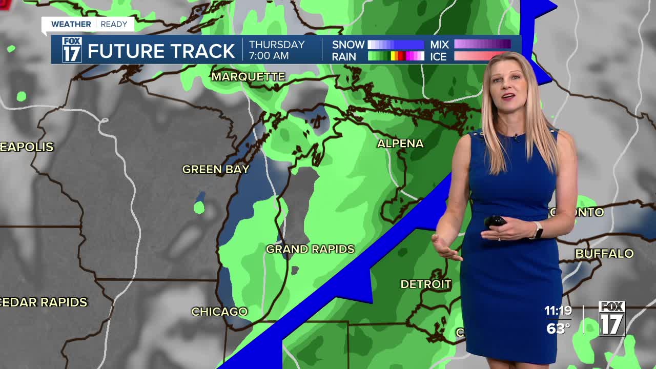
THURSDAY: Breezy and much cooler. Rain showers likely. Highs in the low 60s.
FRIDAY: Breezy and much cooler. Rain showers possible. Highs in the low 60s.
SATURDAY: Mostly dry. Slight chance shower mainly along the lakeshore. Remaining cool. Highs in the low 60s.
SUNDAY: Partly cloudy. Cool and quiet. Highs in the upper 60s.
For the latest details on the weather in West Michigan, head to the FOX 17 Weather page.
Follow FOX 17: Facebook - X (formerly Twitter) - Instagram - YouTube
