


WEST MICHIGAN — WEST MICHIGAN — The forecast from FOX 17 Meteorologist Anthony Domol: Winds will calm this evening with partly cloudy skies. Temperatures only dropping into the upper 20s and lower 30s. A series of weak, moisture starved systems will track to our north this week. This will bring the chance of a flurry or sprinkle on Tuesday and a little better chance of light rain/snow Wednesday. West Michigan can expect little accumulations, if any, but some lingering precipitation from these passing systems is possible. Any precipitation will be light and have little to no travel impacts. A larger system is expected to develop for the upcoming weekend, initially bringing rain showers Saturday into Sunday. Localized flooding is still occurring along the Grand River in Comstock Park as levels are above flood stage, the FLOOD WARNING is in effect through Wednesday morning.
TONIGHT: Mostly clear to partly cloudy. Mild temps. Lows in the upper 20s to upper 30s. Winds southwest at 5 to 10 mph.
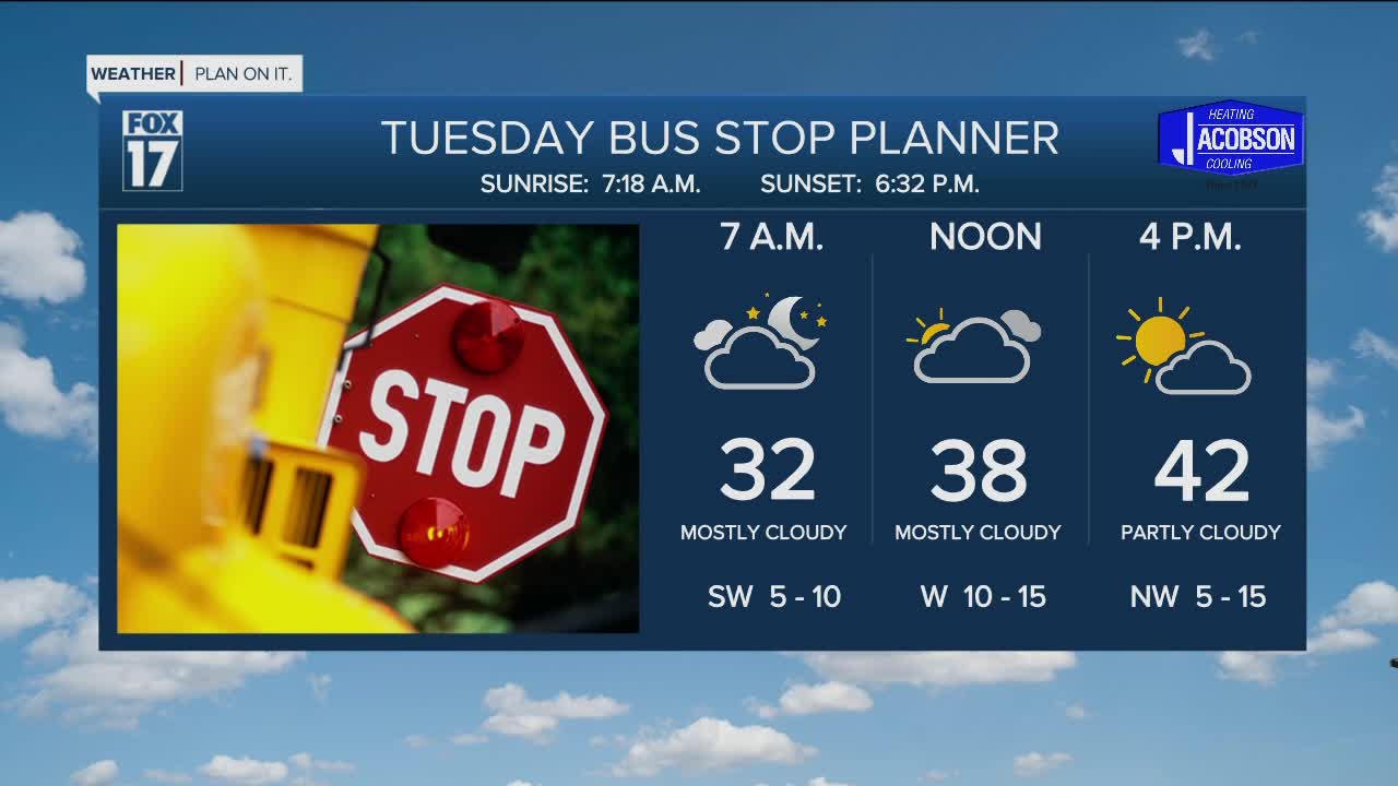
TUESDAY: Mostly cloudy to partly sunny, with a chance of a passing flurry or sprinkle. Highs in the low 40s. Winds west to northwest at 5 to 10 mph.
WEDNESDAY: Mostly cloudy with the chance of light rain or snow showers. Highs in the upper 30s.
THURSDAY: Partly cloudy and the coldest day of the week. Highs near 30 degrees.
FRIDAY: Partly to mostly cloudy and warmer. Highs in the mid to upper 30s.
For the latest details on the weather in West Michigan, head to the FOX 17 Weather page.
