


The forecast from FOX 17 Weather Ready Meteorologist Kara James: Overall warmer weather is on the way to West Michigan as our Spring roller coaster temperature ride continues. Overnight, the sky will clear at least partially and temperatures will plunge down into the 20s. On Tuesday, warmer temperatures are expected as our winds take on a more southerly direction. Highs will reach the upper 40s under a mostly cloudy sky. There are no major systems on the horizon, but we'll see some rain chances build Wednesday afternoon, with better chances arriving Thursday afternoon, evening, and night. A few rumbles of thunder south of I-94 are also possible Thursday, but the primary thunderstorm risk remains just to our south. Normal highs for this time of year are in the upper 40s. We'll get back into the 60s by Thursday, but cool down again by the end of the week. Longer range forecasts indicate we may see temperatures well above normal as we head into the first week of April, along with a more active pattern.
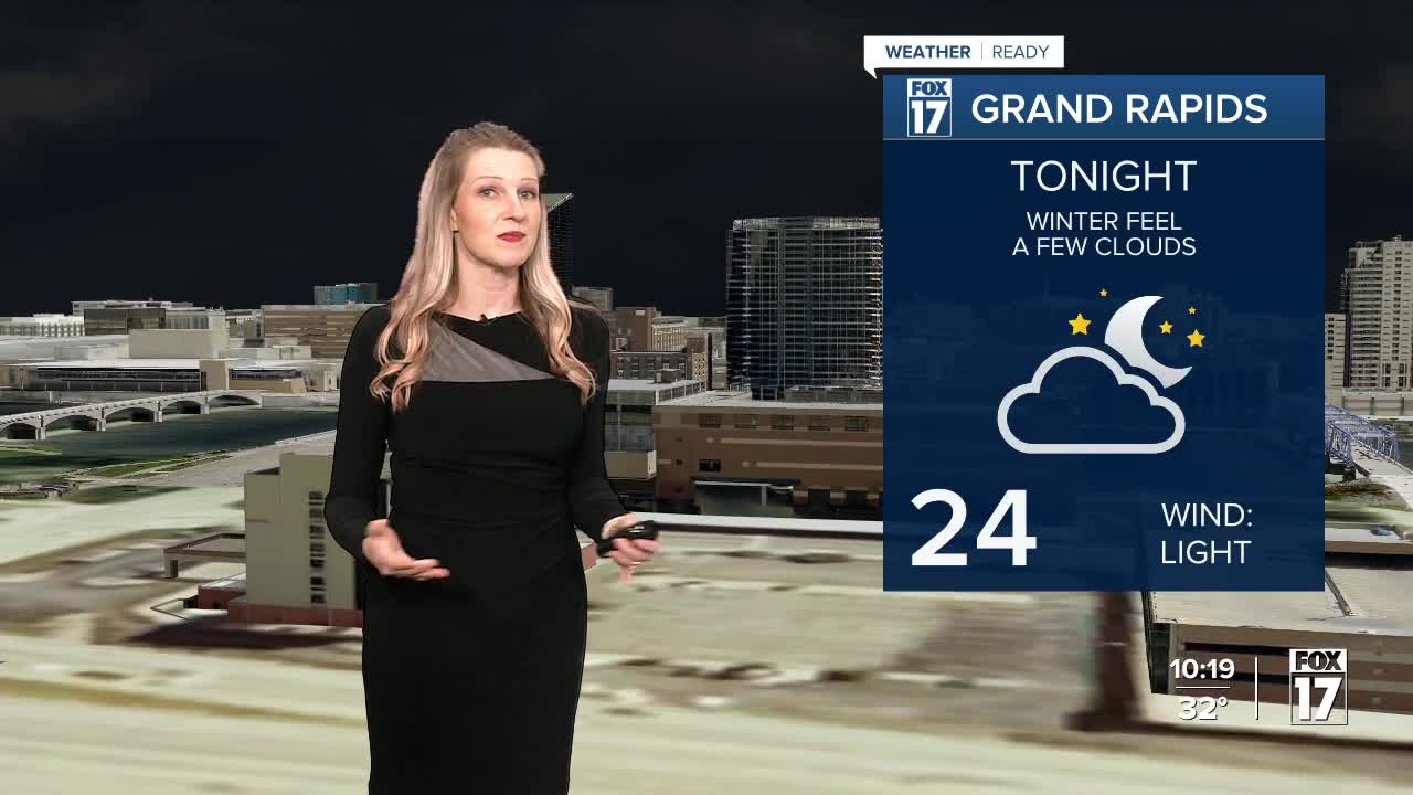
TONIGHT: Clear to partly cloudy. Lows in the mid 20s. Winds light/variable.
TUESDAY: Mostly cloudy. Highs in the upper 40s. Winds south/southwest at 5 to 15 mph.
WEDNESDAY: Mostly cloudy warmer. Slight chance of P.M. showers. Highs in the mid/upper 50s.
THURSDAY: Mostly cloudy and mild with P.M. and nighttime showers likely. Highs in the lower 60s.
FRIDAY: Becoming partly cloudy and cooler. Highs in the lower 40s.
SATURDAY: Mostly sunny. Highs in the middle 40s.
SUNDAY: Partly cloudy. Highs in the lower 50s.
MONDAY: Partly cloudy. Highs in the upper 50s.
For the latest details on the weather in West Michigan, head to the FOX 17 Weather page.
Follow FOX 17: Facebook - X (formerly Twitter) - Instagram - YouTube
