
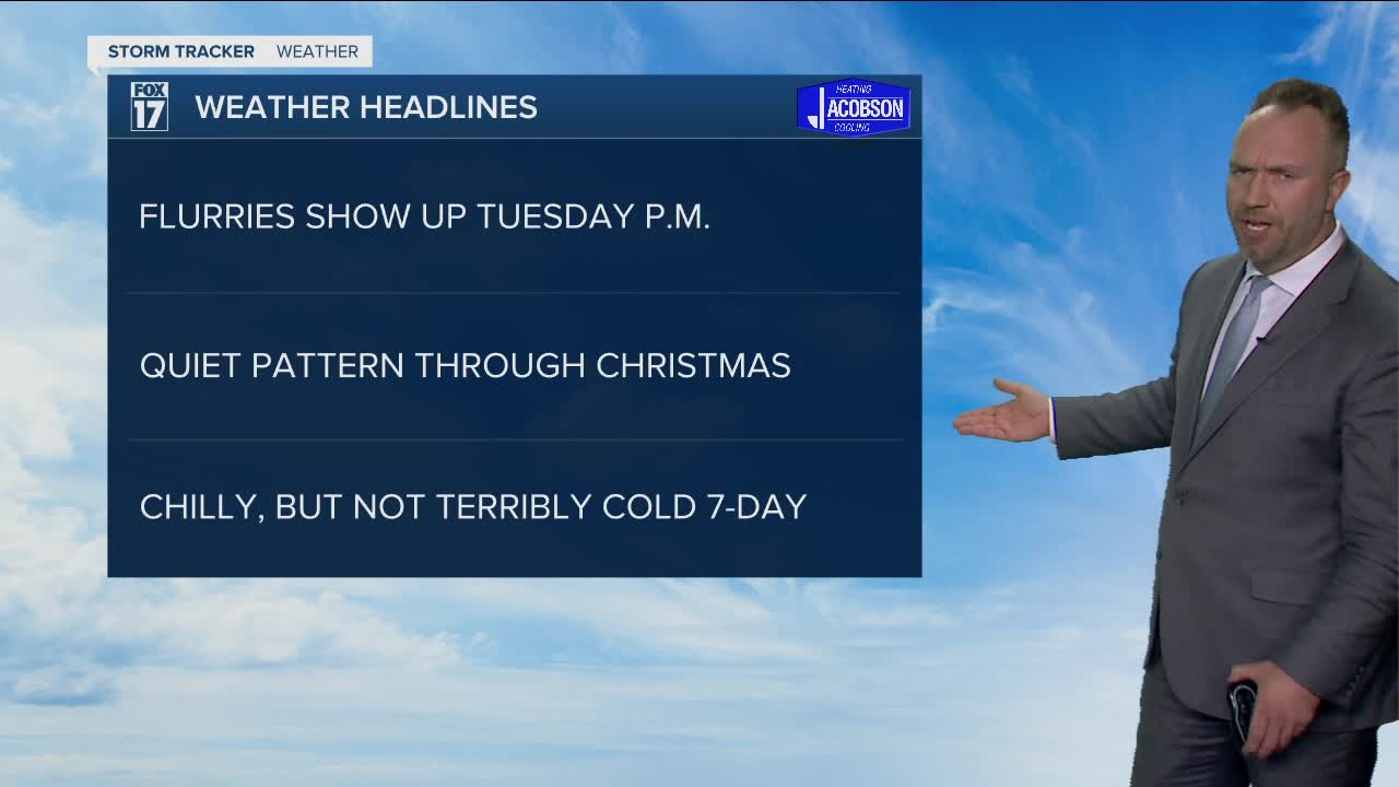


WEST MICHIGAN — The forecast from FOX 17 Meteorologist Anthony Domol: Conditions stay dry and quiet through most of this week, although we may see a few light snow showers north of Grand Rapids Tuesday evening/Tuesday night. As of now, temperatures will be above freezing for the upcoming Christmas holiday. This will lead to breezy conditions and rain showers on Christmas Eve, with the possibility of a few light rain showers switching over to possible snowflakes early Christmas Day morning. Travel conditions should be good with a green Christmas likely.
TONIGHT: Becoming partly cloudy. Lows in the low/mid 20s. Winds west/north at 5 to 10 mph.
TUESDAY: Morning sunshine, but thickening clouds through the day as another weak low pressure system arrives. This system may generate some light snow showers north of Grand Rapids in the evening and overnight hours. Highs in the mid to upper 30s. Winds east/southeast/south at 6 to 12 mph. This is also the WINTER SOLSTICE! Winter officially arrives at 10:59 A.M.. This is the point and time when the sun is farthest south of the equator. The days gradually get longer.
WEDNESDAY: Partly cloudy to partly sunny. Highs in the lower 30s.
THURSDAY: Mostly cloudy. Chance of light snow or flurries ending as some drizzle. Highs in the mid to upper 30s.
CHRISTMAS EVE: Cloudy. Rain showers likely. Highs in the lower to mid 40s.
CHRISTMAS DAY: A few morning flurries; otherwise mostly to partly cloudy. Temperatures around 40 degrees.
For the latest details on the weather in West Michigan, head to the FOX 17 Weather page.
