
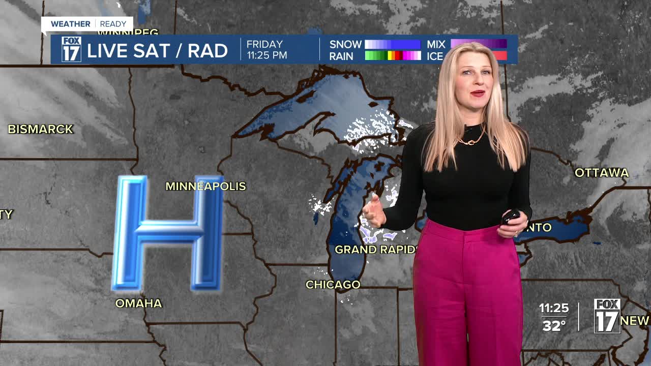


The forecast from FOX 17 Weather Ready Meteorologist Kara James: Cold air behind Thursday's cold front is in place, and an upper low swinging through overnight will bring a band of flurries to parts of West Michigan overnight. No impacts are expected, and once the band passes clouds will clear and temperatures plummet into the mid 20s. Highs stay cool Saturday, only climbing into the low 40s but then we will be in the upper 50s Sunday. Temperatures warm even more into the 60s Monday and Tuesday. There's a chance some areas could even hit 70 on Tuesday. Our next threat for rain and storms comes late Monday night into Tuesday, with unsettled weather continuing through Thursday.
TONIGHT: A few flurries possible. Clearing by dawn. Lows in the middle 20s. Winds northwest at 5 to 15 mph.
SATURDAY: Partly sunny. Highs in the low/mid 40s.
SUNDAY: Mostly sunny to partly cloudy and warmer. Highs in the mid to upper 50s.
MONDAY: Mostly cloudy. Slight chance of showers, especially late. Highs in the mid 60s.
TUESDAY: Mostly cloudy and mild with showers and thunderstorms likely. Highs in the upper 60s.
WEDNESDAY: Cloudy with rain likely, perhaps a few thundershowers. Highs in the mid 50s.
THURSDAY: Cloudy with an isolated shower. Highs in the mid 40s.
FRIDAY: Cloudy with highs in the upper 50s.
For the latest details on the weather in West Michigan, head to the FOX 17 Weather page.
Want alerts when inconvenient or severe weather is headed your way? Download the FOX 17 Weather app and set up notifications for where you live.
For the latest details on the weather in West Michigan, head to the FOX 17 Weather page.
Follow FOX 17: Facebook - X (formerly Twitter) - Instagram - YouTube
