
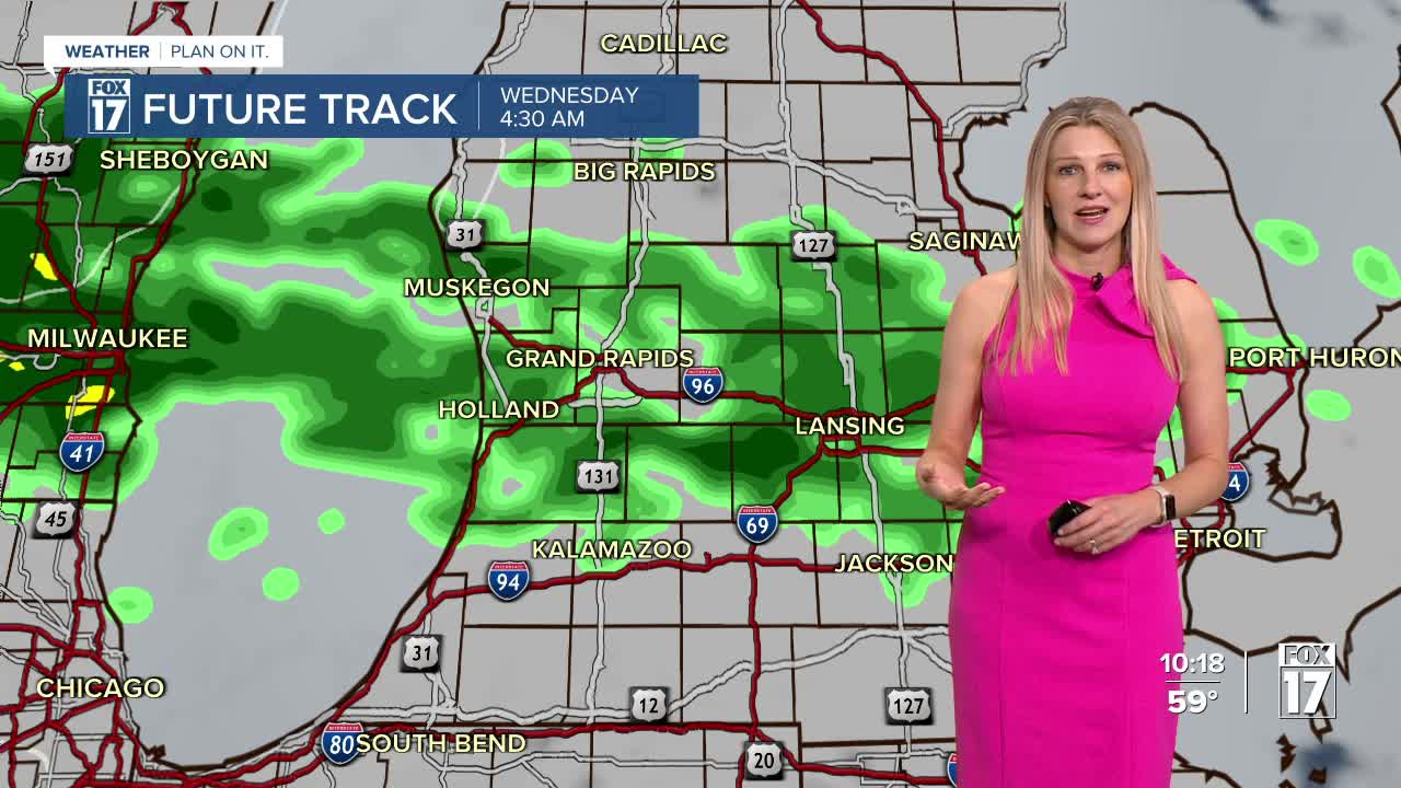


The forecast from FOX 17 Weather Ready Meteorologist Kara James: Very light showers will move through overnight and into early Wednesday morning, with amounts less than a tenth of an inch. Better rain chances happen this weekend. Highs slip into the low to mid 60s for the rest of the week. "Average" highs are now in the lower 60s, so this is still a few degrees above average. Temperatures early Thursday morning may drop into the 30s in some inland areas, creating the best chance for areas of frost. Widespread frost is not a concern for much of this week, as morning temperatures (other than Thursday morning) will hold in the 40s to near 50. Unfortunately, most of the Lower Peninsula remains in a moderate to severe drought. Widespread rain is in the forecast for Friday and the weekend, with a few thunderstorms possible on Saturday as well. Totals will be around a quarter to half an inch overall. Stay with the FOX 17 Weather Ready Team for your latest forecast updates

TONIGHT: Becoming mostly cloudy with a chance of showers after midnight. Lows in the mid/upper 40s. Winds northeast at 5 to 10 mph.
WEDNESDAY: Mostly cloudy with a chance of a few morning showers, otherwise some afternoon sunshine possible. Cooler too. Highs in the lower 60s. Winds northeast/north at 5 to 10 mph.
THURSDAY: Mostly sunny. Highs in the mid 60s.
FRIDAY: Mostly cloudy. Chance of rain overnight. Highs in the upper 60s.
SATURDAY: Cloudy with rain showers likely. Some thunderstorms possible. Highs around 70.
SUNDAY: Cloudy and cooler with a light shower possible. Highs in the low 60s.
MONDAY: Chance of morning showers, otherwise some afternoon clearing and cooler. Highs in the upper 50s.
For the latest details on the weather in West Michigan, head to the FOX 17 Weather page.
Follow FOX 17: Facebook - X (formerly Twitter) - Instagram - YouTube
