
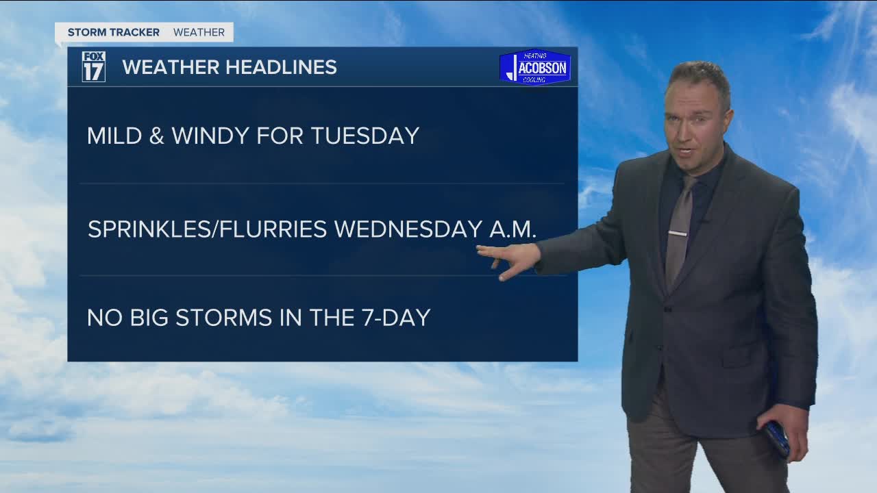


WEST MICHIGAN — WEST MICHIGAN — The forecast from FOX 17 Meteorologist Anthony Domol: Mostly clear skies and milder temps are expected tonight with lows only dropping back into the mid 40s. Breezy/windy conditions will be out there for tonight into tomorrow with south southwest winds gusting to around 40 mph at times. Readings get even better tomorrow as a ridge continues to build in the upper levels of the atmosphere. Temperatures will top out in the lower to middle 60s. A strong cold front will sweep through Tuesday night and send our temperatures dropping to the 30s and 40s along with some rain/snow mix chances. After this cool down mid to late week, temperatures will recover back into the lower 60s for Easter weekend with plenty of sunshine!
TONIGHT: Mostly clear and breezy. Mild too! Lows in the middle/upper 40s. South winds at 10 to 20 mph, gusting higher at times.
TUESDAY: Increasing clouds and breezy. Warm with highs in the low/middle 60s. South/southwest winds at 15 to 25 mph, gusting to 35/40 mph at times.
TUESDAY NIGHT: Mostly cloudy. A light rain/snow shower possible late evening and overnight, especially from Grand Rapids to the south/east. Lows in the lower 30s. Northwest winds at 10-15 mph.
WEDNESDAY: Partly sunny with a few light rain/snow showers early in the morning, especially from Grand Rapids to the south/east. Temps hold near 40 for most of the day.
THURSDAY: Partly sunny with some rain/snow mix showers possible in the first half of the day, especially along the immediate lakeshore. Highs in the upper 30s.
