


WEST MICHIGAN — The forecast from FOX 17 Meteorologist Haleigh Vaughn: Get ready for another cold night, West Michigan! Mostly clear to partly cloudy skies are in the forecast tonight as temperatures dive into the teens. Thursday begins with moments of sunshine before a cold front approaches in the late afternoon. This passing cold front will fire up scattered snow showers, strong wind gusts, and quickly dropping temperatures. Any accumulation on Thursday will likely be under an inch. Wind gusts could exceed 30 mph on Thursday which could generate blowing and drifting snow. Friday brings the coldest air of the season thus far! High temperatures on Friday will be around 14 degrees. Factoring in the wind, the feels-like temperatures will range between -5 to -15 degrees. With the cold temperatures, steady winds, and warm Great Lakes, the ingredients are here for lake effect snow on Friday. Additional snow accumulation between 1" to 3 " will be possible along and west of U.S. 131. The highest snow accumulation is likely to be along the immediate lakeshore. Temperatures rebound to the 30s this weekend with another chance for snow on Sunday. Stay tuned for updates and download the free FOX 17 Weather App for the latest forecast video.
TONIGHT: Mostly clear to partly cloudy. Lows in the upper teens. Winds southwest at 10 to 15 mph. Wind chills in the single digits.
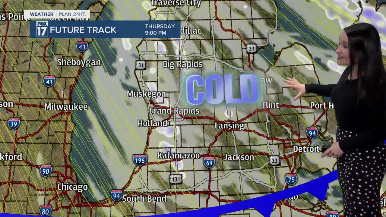
THURSDAY: Some morning sunshine, otherwise becoming mostly cloudy. A passing cold front brings the chance for scattered snow showers in the evening. Highs near 30 degrees. Winds west/northwest at 10 to 20 mph. Wind gusts exceeding 30 mph at times.
FRIDAY: A blast of Arctic air leading to high temperatures only in the teens! Lake effect snow develops along and west of U.S. 131. Winds northwest/north at 5 to 15 mph. Wind chills ranging between -5 to -15 degrees.
SATURDAY: Mostly cloudy and a bit warmer. Highs near 30 degrees.
SUNDAY: Mostly cloudy with a chance of light snow and breezy. Highs in the middle 30s.
MONDAY: Mostly cloudy skies. Highs in the upper 30s.
TUESDAY: Cloudy skies with the chance of light rain. A wintry mix can't be ruled out. Highs in the lower 40s.
For the latest details on the weather in West Michigan, head to the FOX 17 Weather page.
