


WEST MICHIGAN — The forecast from FOX 17 Meteorologist Laura Velasquez: Calm and quiet tonight with a light breeze and clear sky. The weekend features a bit of a warm up with winds turning southwesterly and temperatures rising into the low 80s. Winds will be strong tomorrow, gusting to 30 mph or more during the afternoon. This will also push wave heights to 3 - 6 feet and result in dangerous swimming conditions. A cold front will slowly sweep across West Michigan Saturday night, generating a few showers and potential thunderstorms into Sunday. These are most likely across the northern half of the area. With the front lingering across the region on Sunday, it's tough to rule out a few showers or a storm (especially south of I-96), but much of the day will be dry.
** Beach Hazards Statement and Small Craft Advisory from 6 a.m. Saturday until 4 a.m. Sunday. Wave heights between 3 to 6 feet are expected, creating dangerous swimming conditions and strong currents. Waves of that height can wash over the piers and breakwaters so please stay off of them. The water is very powerful.**
TONIGHT: Mostly clear with lows in the upper 50s. Winds southwest at 5 to 10 mph.
TOMORROW: Becoming partly cloudy and breezy. Highs in the lower 80s. Winds south-southwest at 15 to 25 mph with higher gusts.
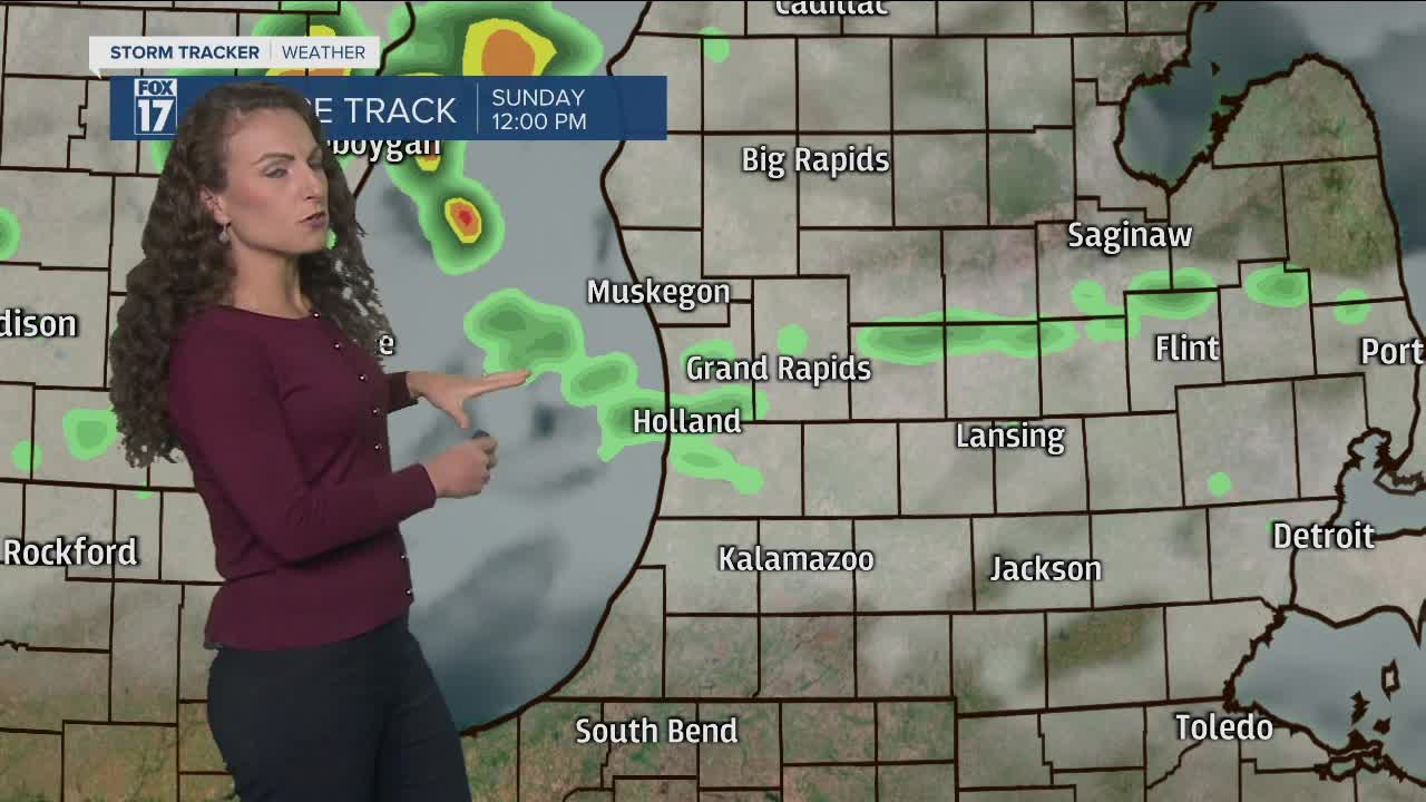
SUNDAY: Partly cloudy and more humid with a few showers or a stray storm. Highs in the lower 80s.
MONDAY: Partly to mostly cloudy with a chance of showers. Humid with highs in the mid 70s.
TUESDAY: Partly cloudy and humid. Best chance for showers and storms is late day and at night. Highs in the lower to mid 80s.
WEDNESDAY: Partly to mostly cloudy with a few lingering morning showers. Highs in the mid 70s.
For the latest details on the weather in West Michigan, head to the FOX 17 Weather page.
