
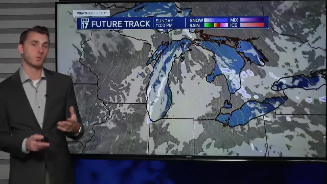


From Fox 17 Weather Ready Meteorologist Reece Cole: The first of two systems this weekend moved through, leaving about an inch of snow for most. The further south and east, the lower the snow totals. Roads will continue to be slick in spots, especially neighborhood and rural roads. Snow will end by mid-morning at the latest, and the rest of Saturday will be cloudy, cold and breezy. The second system, a clipper Sunday morning, brings an additional 1-2" of snow and a fresh surge of Arctic air. Sunday night temperatures will be in the single digits again. The overall pattern remains unseasonably cold and active, with a more significant system taking shape for next Tuesday and Wednesday.

TODAY: Few flurries in the morning, otherwise mostly cloudy and warmer. Highs in the low 30s. West wind at 5 to 10 mph.
TONIGHT: Mostly cloudy with scattered snow showers towards sunrise. Lows in the mid teens.
SUNDAY: Light snow showers. Another .5" to 2" of snow possible in the morning. Highs in the middle 20s.
MONDAY: Partly cloudy and cold. Highs in the lower 20s.
TUESDAY: Mostly cloudy with snow likely. Highs in the low 30s.
WEDNESDAY: Wintry mix likely with rain and slushy snow. Highs in the mid 30s.
THURSDAY: Mostly cloudy with chance snow showers. Highs in the upper 20s.
FRIDAY: Mostly cloudy and cold. highs in the upper 20s.
For the latest details on the weather in West Michigan, head to the FOX 17 Weather page.
Follow FOX 17: Facebook - X (formerly Twitter) - Instagram - YouTube
