
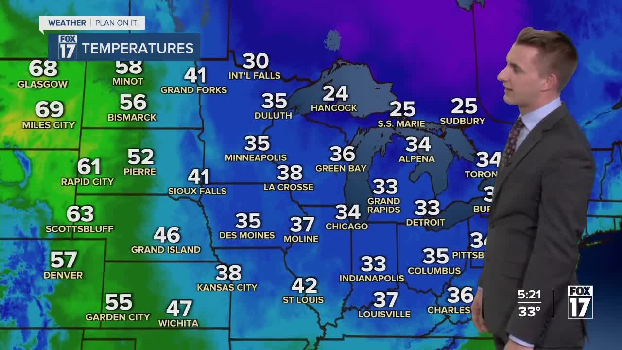


The forecast from FOX 17 Meteorologist Reece Cole: Most of the snow winds down through the overnight, but temperatures will dip back into the upper 20s. Tuesday looks to be dry during the day with highs in the middle 40s! Astronomical Spring arrives Tuesday night at 11:06 P.M.. It's the precise moment the sun is directly overhead of the equator. A weak cold front slides through early Wednesday morning, keeping us in the 30s, and once again firing off some lake effect snow showers with a breezy northwest wind. Thursday will remain cooler, but there will be some sunshine. We are tracking a system to bring widespread accumulating snow on Friday, with a more active weather pattern through the weekend into early next week! Stay alert with the FOX 17 Weather Team.
TONIGHT: Mostly cloudy. Lows in the middle/upper 20s. Winds west-southwest at 5 to 15 mph.
TUESDAY: A snow showers or flurries in the early morning from Grand Rapids northward. Otherwise a southwest breeze brings warmer air under mostly cloudy skies. Highs in the middle 40s. Winds southwest/west at 10 to 20 mph.
WEDNESDAY: Partly to mostly cloudy with lake effect snow showers and a northwest breeze. Highs in the middle 30s.
THURSDAY: Morning sunshine, increasing afternoon clouds. Chance of nighttime snow showers. Highs in the middle 30s.
FRIDAY: Mostly cloudy. Chance of snow showers. Accumulations possible. Highs in the upper 30s.
For the latest details on the weather in West Michigan, head to the FOX 17 Weather page.
Follow FOX 17: Facebook - X (formerly Twitter) - Instagram - YouTube
