


WEST MICHIGAN — The forecast from FOX 17 Meteorologist Ty Shesky: Clouds will quickly decrease this evening, then increase again after midnight with a northeast flow pushing some low clouds towards us from Lake Huron. High pressure in control on Saturday will give us partial sunshine and temperatures running close to average for this time of year. Yet another low pressure system coming towards us from the central Plains on Sunday will bring more rain and a chance of thunderstorms to the area.
TONIGHT: Mostly clear evening, increasing clouds overnight. Patchy fog possible, mainly by Lake Michigan. Cooler with lows in the upper 40s to near 50. Northwest winds at 5 to 10 mph becoming northeasterly overnight.
TOMORROW: Mostly cloudy morning. Partly sunny afternoon. Highs in the upper 60s to around 70. East/northeast winds at 8 to 16 mph.
TOMORROW NIGHT: Becoming mostly cloudy. A chance of rain and a few embedded thunderstorms after 3am. Lows in the lower 50s. East winds at 10 to 15 mph.
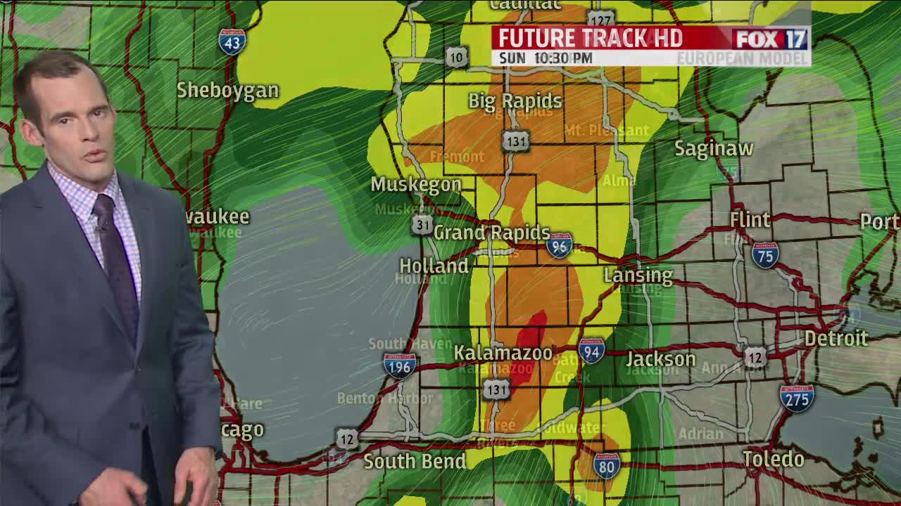
SUNDAY: Rain likely, with a few thunderstorms also possible. A bit cooler with highs in the lower to middle 60s. Southeast winds at 8 to 16 mph becoming westerly by late afternoon.
