


WEST MICHIGAN — The forecast from FOX 17 Meteorologist Anthony Domol: A weak weather disturbance passes overhead this evening and early overnight and could produce a few showers. Otherwise, skies become mostly clear overnight with temperatures dropping into the middle 50s. Labor Day looks to bring a good deal of sunshine along with nice temps back into the mid 70s for highs. Our next shot for showers and even a few thunderstorms arrives Tuesday late morning and for the afternoon. The overall pattern looks to continue to produce temperatures in the 70s and a fair amount of sunshine in the days ahead. As of now the next shot for showers would be next Saturday.
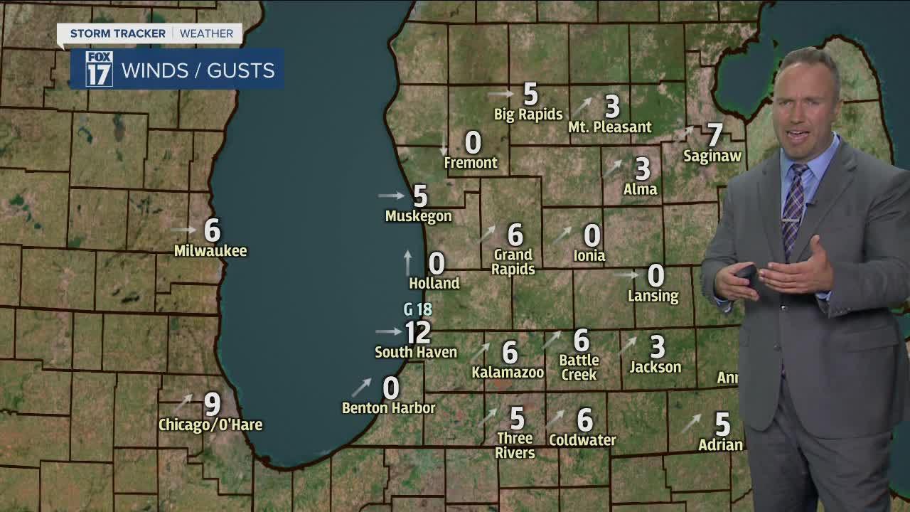
TONIGHT: Partly cloudy with a few isolated showers. Any rain will exit well before daybreak. Lows in the mid 50s. West to northwest winds at 5-10 mph.
TOMORROW/LABOR DAY: Partly cloudy. Highs in the mid 70s. Northwest winds at 10-15 mph.
MONDAY NIGHT: Mostly clear. Low in the middle 50s. Northwest winds shift to the south at 5 mph.
TUESDAY: Mostly cloudy with scattered showers and storms. Highs in the upper 70s. Southwest winds at 10-20 mph gusting to 30+ mph at times.
WEDNESDAY: Partly sunny with a stray shower possible. Highs in the lower 70s.
THURSDAY: Partly cloudy. Highs in the lower 70s.
FRIDAY: Partly cloudy. Highs slightly warmer in the upper 70s.
For the latest details on the weather in West Michigan, head to the FOX 17 Weather page.
