


WEST MICHIGAN — WEST MICHIGAN — The forecast from FOX 17 Meteorologist Erik Kostrzewa: While an isolated shower/t'storm is possible this evening/overnight around the front, which is north of GR, rain should hold off until morning. Those showers and isolated storms Monday morning will move in from the south and primarily impact those along and south of I-96 through early afternoon. Late afternoon and evening Monday should be dry and cloudy, with temperatures in the middle to upper 60s. Another round of showers will swing through late Monday into Tuesday morning with the cold front. A few could linger into Tuesday morning, but the majority of the day will be dry. The cold front will bring in chillier temperatures for the remainder of the forecast through Mother's Day. Several days will be stuck in the 50s with lows in the 30s.
TONIGHT: Partly to mostly cloudy with isolated shower/storm possible. Lows in the upper 50s.
MONDAY: Mostly cloudy with scattered showers and a few thunderstorms. Highs in the middle to upper 60s.
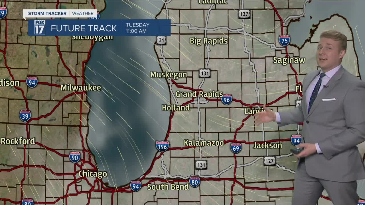
TUESDAY: Partly sunny to mostly cloudy with a few rain showers, mainly during the morning. Highs around 60.
WEDNESDAY: Partly cloudy and cooler. Highs in the lower 60s.
THURSDAY: Partly sunny with a few p.m. showers possible. Highs in the middle/upper 50s.
For the latest details on the weather in West Michigan, head to the FOX 17 Weather page.
