


The forecast from FOX 17 Meteorologist Kara James: Big changes are brewing in West Michigan's weather this week of Thanksgiving! WINTER ALERTS and WIND ALERTS have been issued areawide for accumulating snow and wind gusts of 45-55 mph, leading to blowing snow, low visibility and possible power outages. This happens as colder air arrives behind a cold front early tomorrow morning. Temperatures drop to the 30s, changing rain to snow and igniting lake effect snow. Colder air will move into the region later Wednesday into Thanksgiving, with widespread snow showers. Expect slick travel conditions at times Wednesday afternoon through at least midday Thursday. Accumulations look between 3" and 7", but with strong winds, low visibility and wind chills in the teens, this will be a true taste of Winter weather. There is also yet another system looking to bring widespread snow to the region this weekend. Looking ahead into the first week of December; a "colder than average" pattern shift is ahead. Stay tuned to the FOX 17 Weather Ready Team for your latest forecast.

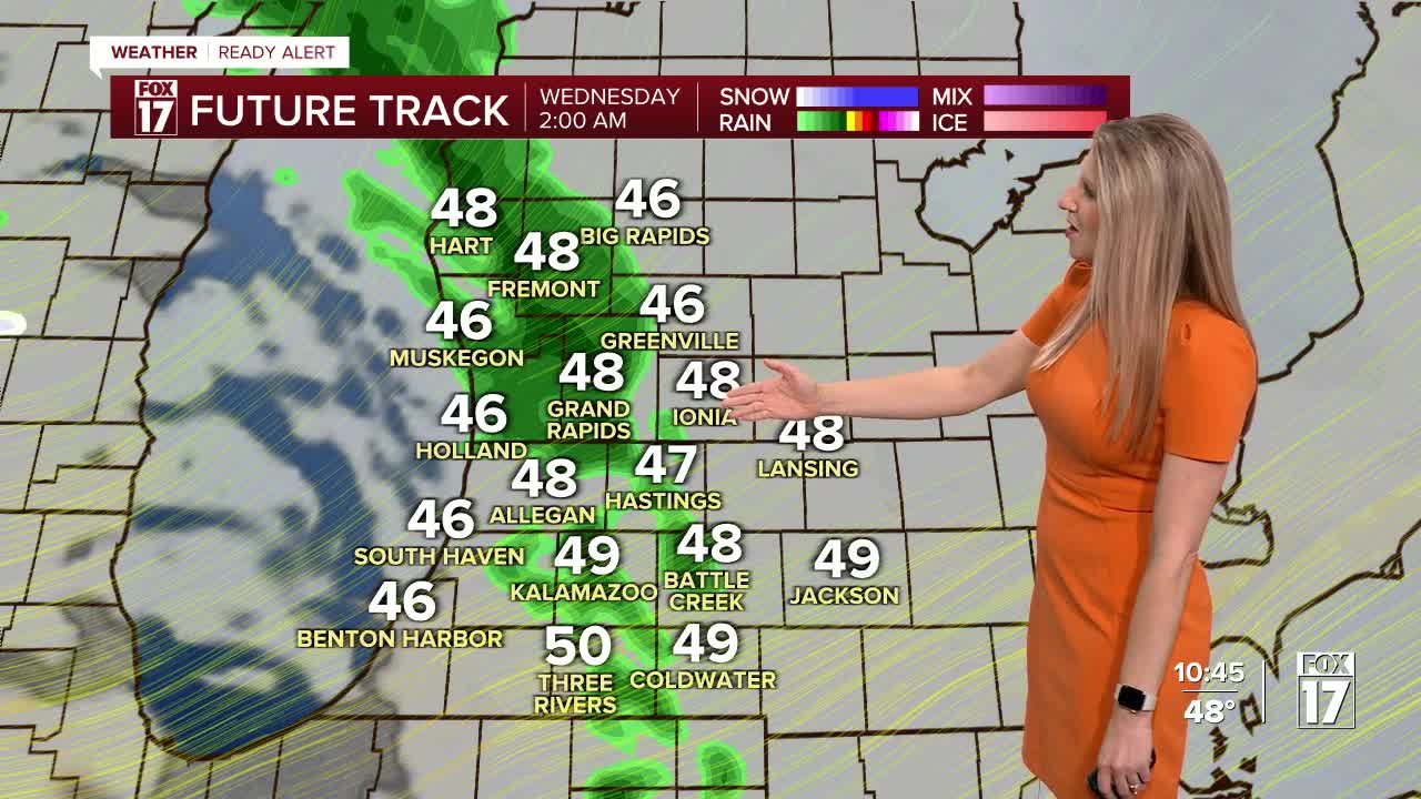
TONIGHT: Few scattered showers with falling temperatures. Mid 40s falling into the upper 30s by sunrise. Winds pick up out of the west at 10 to 15 mph.
WEDNESDAY: Rain turns to snow with falling temperatures and strong winds. Afternoon highs in the middle 30s with a west wind at 10 to 20 mph and gusts to 40. Wind chill in the teens.
THANKSGIVING: Much colder with scattered snow showers, especially near the lakeshore. Highs in the low to mid 30s. Breezy west wind.
FRIDAY: Cold with scattered lake effect snow showers. Highs in the low to mid 30s.
SATURDAY: Remaining cold with snow showers building in the afternoon. Highs in the mid-30s
SUNDAY: Snow showers, heavy at times. Highs in the mid-30s.
MONDAY: Chance wintry mix. Highs in the mid-30s.
For the latest details on the weather in West Michigan, head to the FOX 17 Weather page.
Follow FOX 17: Facebook - X (formerly Twitter) - Instagram - YouTube
