


The forecast from FOX 17 Weather Ready Meteorologist Colton Cichoracki: A Winter Weather Advisory remains in effect for Oceana, Allegan and Van Buren counties until 1 p.m. Monday. This is where lake effect snow will be heaviest, especially towards the Lake Michigan shoreline. For all of West Michigan, snow showers will remain likely Sunday, especially during the first half of the day. Areas away from the lake will see less than an inch of accumulation. In the advisory area, additional accumulation of 2-4" is possible, especially in far western parts of the counties. Sunday will be breezy with winds from the northwest at 10-20 mph with gusts over 30 mph at times. Temperatures will be in the upper 20s to lower 30s. Take it slow traveling around the region. Lake effect snow ends Monday but a clipper system will bring another round of light snow later Tuesday. We will also be keeping a close eye on Thursday as a stronger system could bring some accumulating snow to West Michigan.
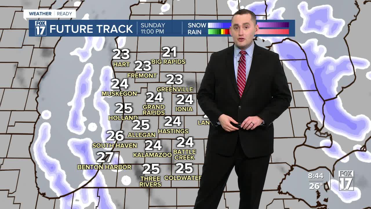
SUNDAY: Mostly cloudy with scattered lake effect snow showers. A few inches of accumulation possible towards lakeshore. Highs in the upper 20s and lower 30s. Winds from the northwest at 10 - 20 mph with gusts near 30 mph.
MONDAY: Partly sunny to mostly cloudy. Chance of lakeshore snow showers early. Highs in the upper 20s.
TUESDAY: Mostly cloudy with snow showers later in the day. Snow accumulation of 1-2" possible. Highs in the low 30s.
WEDNESDAY: Mostly cloudy with a chance of lake effect snow showers. Highs in the lower 30s.
THURSDAY: Mostly cloudy with a chance of snow. Accumulation possible. Highs in the low 30s.
FRIDAY: Partly cloudy. Highs in the lower 40s.
SATURDAY: Mostly cloudy with a chance of rain/snow. Highs in the low 40s.
For the latest details on the weather in West Michigan, head to the FOX 17 Weather page.
Follow FOX 17: Facebook - X (formerly Twitter) - Instagram - YouTube
