
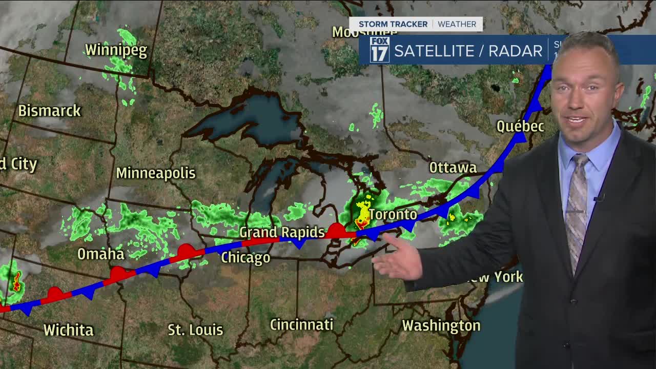


WEST MICHIGAN — The forecast from FOX 17 Meteorologist Anthony Domol: The chance for spotty showers, perhaps a thundershower, continues this evening and overnight though most hours should remain rain-free. With a stationary front still in close proximity on Monday, the shower & thunderstorm chances continue, but much of the day it won't be raining. The best chance for wet weather will likely come as a cold front passes late afternoon and early evening Tuesday. A few dry and quiet days will follow to finish the work week. Temperatures will likely again warm into the 80s once again late workweek into next weekend. Summer is not over yet folks!
TONIGHT: Partly cloudy to mostly cloudy with a few isolated showers possible. Lows in the lower 60s. North to northeast winds at 5-10 mph.
MONDAY: Partly to mostly cloudy with a chance of showers. Humid with highs in the mid 70s. Northeast to east winds at 5-15 mph.
TUESDAY: Partly cloudy and humid. Best chance for showers and storms is late day and at night. Highs in the lower to mid 80s. Breezy south to southwest winds at 15-25 mph, gusting to 35-40 mph.
WEDNESDAY: Partly to mostly cloudy with a few lingering morning showers. Highs in the mid 70s.
THURSDAY: Partly cloudy skies. Highs near 80.
FRIDAY: Partly cloudy skies. Highs in the lower 80s.
For the latest details on the weather in West Michigan, head to the FOX 17 Weather page.
