
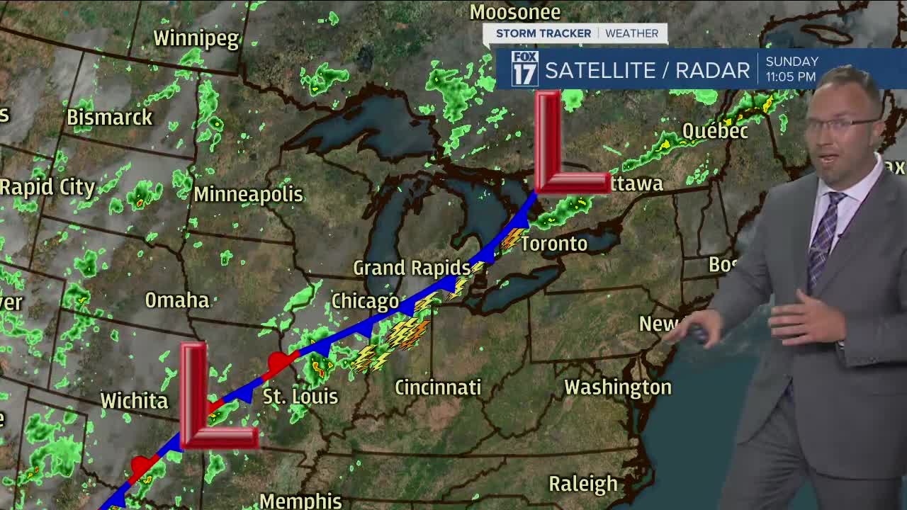


WEST MICHIGAN — The forecast from FOX 17 Meteorologist Anthony Domol: The best chance to see showers and a few strikes of lightning will be along and south of I-94 this evening. Otherwise, partly to mostly cloudy skies along with humid conditions will be continuing tonight. A new chance for a few showers and thunderstorms shows up again through Monday morning and afternoon. The focus for this activity is likely to be around and south of I-96 through the day. The best chance for wet weather locally in Grand Rapids will be during the afternoon and evening. Occasional showers and thunderstorms stay in the forecast thereafter through Thursday. The question is whether we dry things out around here for Friday and through the Fourth of July holiday weekend. Some indications keep the chance for a shower or storm with us while others indicate a drier regime. Stay tuned to the forecast over the next few days.
TONIGHT: Partly cloudy with a few stray showers. Lows in the mid 60s.
MONDAY: Partly sunny with a few showers and thunderstorms around I-96 and especially south. Highs near 80 to the low 80s.
TUESDAY: Mostly cloudy to partly sunny with a few showers and thunderstorms. Highs near 80.
WEDNESDAY: Partly sunny with a few showers. Highs in the upper 70s.
THURSDAY: Partly sunny with scattered showers and storms. Highs in the upper 70s.
For the latest details on the weather in West Michigan, head to the FOX 17 Weather page.
