
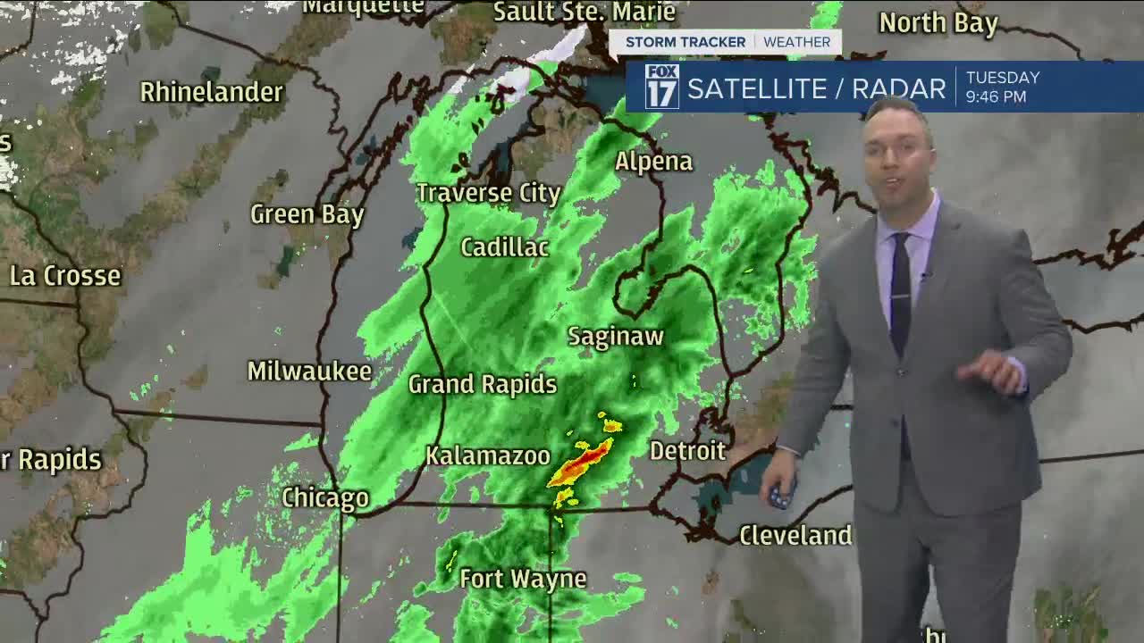


WEST MICHIGAN — WEST MICHIGAN — The forecast from FOX 17 Meteorologist Anthony Domol: A strong cold front will sweep through tonight into Wednesday morning and send our temperatures dropping to the 30s along with some light rain chances that exit early Wednesday morning, especially southeast of Grand Rapids. Unseasonably cold temps are to be with us Wednesday and Thursday when daytime highs will struggle to reach 40 and wind chills will be in the 20s and 30s. Temperatures will moderate Friday, be back in the lower 60s Saturday, and near 70 for Easter Sunday with plenty of sunshine!
TONIGHT: Mostly cloudy. Light rain showers end. Lows in the low/mid 30s. West/northwest winds at 7 to 14 mph.
WEDNESDAY: Partly cloudy to partly sunny and sharply colder with an early morning drop/flake, especially from Grand Rapids to the south/east. Highs in the lower 40s. Winds northwest at 10 to 20 mph, gusting to 25 mph.
THURSDAY: Partly sunny with some light rain/snow showers possible in the first half of the day, mainly along the immediate lakeshore. Highs in the upper 30s.
FRIDAY: Mostly sunny to partly cloudy. Milder with highs in the upper 40s.
SATURDAY: Partly cloudy and warmer. Highs in the low 60s.
