
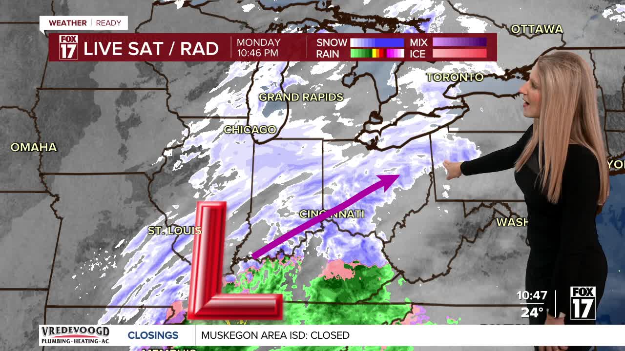


WEST MICHIGAN — From Fox 17 Weather Ready Meteorologist Kara James: After a snowy and cold weekend, another system is working through West Michigan, bringing more snow! Most will end up with a widespread 1-2" of snow through Tuesday morning, but heavy lake effect snow is impacting portions of the lakeshore, where totals could add up to a foot! A WINTER STORM WARNING runs through 7 a.m. Tuesday for Muskegon, Oceana and Ottawa Counties to account for the heavy lake effect. A WINTER WEATHER ADVISORY is in effect for Newaygo County for upwards of an additional 6-inches of new snow. Expect widespread travel disruptions along the lakeshore, with slick spots across the rest of West Michigan. The overall pattern remains unseasonably cold and active this week, with several periods of snow possible (Wednesday, this weekend, early next week). It will also get much colder come late week, with highs only in the low 20s.
TONIGHT: Widespread heavy snow along the lakeshore W/NW of Grand Rapids. Otherwise widespread light snow 1-2". Lows: in the upper teens
TUESDAY: Snow showers early, then ending through the morning. Highs in the upper 20s.
WEDNESDAY: Light snow showers. Highs in the low 30s.
THURSDAY: Sharply colder with a few snow showers. Highs in the low-20s
FRIDAY: Cloudy and cold. Highs in the mid-20s.
SATURDAY: Chance snow. Highs in the low 30s.
SUNDAY: Chance few snow showers. Highs near 30-degrees.
MONDAY: Cloudy early with afternoon and evening snow showers. Highs in the upper 20s.
For the latest details on the weather in West Michigan, head to the FOX 17 Weather page.
Follow FOX 17: Facebook - X (formerly Twitter) - Instagram - YouTube
