


WEST MICHIGAN — The forecast from FOX 17 Weather Ready Meteorologist Reece Cole: Friday has been a beautiful day with highs near 90 for some, but the weekend forecast bears monitoring as storms will be in the area. Aa more active pattern rolls in this weekend with scattered showers and storms returning starting tomorrow as the heat and humidity plateau. The Storm Prediction Center has included much of the Lower Peninsula in a Marginal Risk (Level 1 out of 5) for severe weather Saturday from mid-afternoon through the late evening hours. Severe weather isn't likely, though a few storms could produce strong winds along with frequent lightning and locally heavy rainfall. The potential for a few more rounds of showers and storms will kick off the new work week, with dry and comfortable conditions returning by mid-week. Stay tuned to the FOX 17 Weather Ready Team for your latest forecast updates.
TONIGHT: Mostly clear and mild. Lows in the upper 60s. Winds: W 5-10 mph
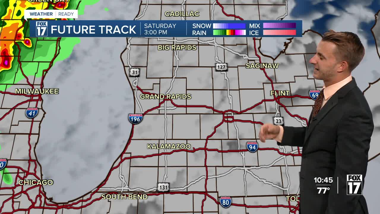
SATURDAY: Mostly sunny, hot, and humid. A shower/storm is possible. Highs near 90.
SUNDAY: Hot and humid with an isolated shower or storm. Highs in the middle to upper 80s.
MONDAY: Scattered showers and storms possible. Warm and muggy. Highs in the mid 80s.
TUESDAY: Scattered showers and storms. Highs in the lower 80s.
WEDNESDAY: Partly cloudy. Highs around 80.
THURSDAY: Mostly sunny. Pleasant. Highs in the low-mid 80s.
FRIDAY: Mostly sunny. Pleasant. Highs in the mid-80s.
For the latest details on the weather in West Michigan, head to the FOX 17 Weather page.
Follow FOX 17: Facebook - X (formerly Twitter) - Instagram - YouTube
