

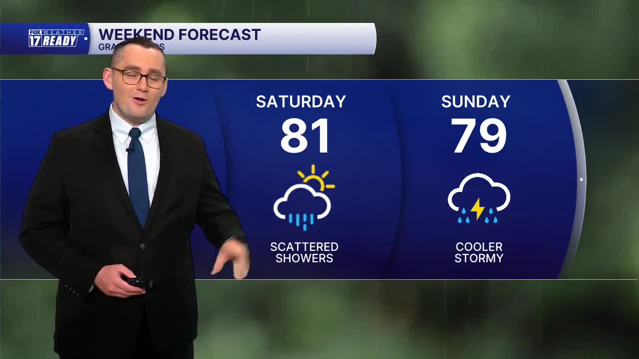


WEST MICHIGAN — The forecast from FOX 17 Weather Ready Meteorologist Colton Cichoracki: Some patchy fog is expected to develop overnight as temperatures drop into the 60s. This fog may slow you down just a bit out on the roadways. A few isolated showers with a few stray thunderstorms will be possible between Thursday afternoon and evening, mainly south of I-96 but many of us will stay dry. Friday looks dry and the best outdoor day of the week. Temperatures will remain in the lower 80s through the end of the work week and humidity will stay high. Another system is forecast to come in this weekend with showers Saturday, and the chance for thunderstorms on Sunday. The start of next week will be dry and more comfortable with some sunshine on Monday and Tuesday, and lower humidity.
TONIGHT: Partly cloudy, warm and humid, with developing fog. Lows in the low/mid 60s. Light north wind.
TOMORROW: A.M. fog. Partly to mostly cloudy with chance afternoon showers/thunderstorms. Highs in the upper 70s/low 80s.
FRIDAY: Partly cloudy with highs in the low 80s and humid.
SATURDAY: Partly to mostly cloudy with chance showers. Highs around 80.
SUNDAY: Partly cloudy with chance showers/thunderstorms. Highs in the upper 70s.
MONDAY: Partly cloudy with highs in the upper 70s and less humid.
TUESDAY: Mostly sunny with highs around 80 and less humid.
WEDNESDAY: Mostly cloudy with chance showers. Highs in the low 80s.
Want alerts when inconvenient or severe weather is headed your way? Download the FOX 17 Weather app and set up notifications for where you live.
For the latest details on the weather in West Michigan, head to the FOX 17 Weather page.
Follow FOX 17: Facebook - X (formerly Twitter) - Instagram - YouTube
