


WEST MICHIGAN — From Fox 17 Weather Ready Meteorologist Terri DeBoer: Patchy drizzle and/or lt. rain is possible this evening into the early part of the overnight period, but precipitation amounts will be quite limited. Christmas Day will be dry from start to finish. A developing late week system will produce a chance for a period freezing rain Friday, which could produce icy travel conditions. Even if there is a period of freezing rain, slightly warmer temperatures will allow the icy morning precipitation to change-over to mainly rain. Dry air returns for Saturday, with another round of rain likely developing later Saturday, with tumbling temperatures and rain changing to snow by Sunday morning. A quick shot of colder air is on the horizon for the start of next week, with scattered snow showers and highs in the 20s for Monday and Tuesday. The cold air retreats quickly to the north, with temperatures likely to be even warmer next week; for the week between Christmas and the start of 2026!
TONIGHT: Chance lt. shower or patchy drizzle during the evening. Drying out overnight. Lows in the upper 20s. Winds: E 5-10 mph
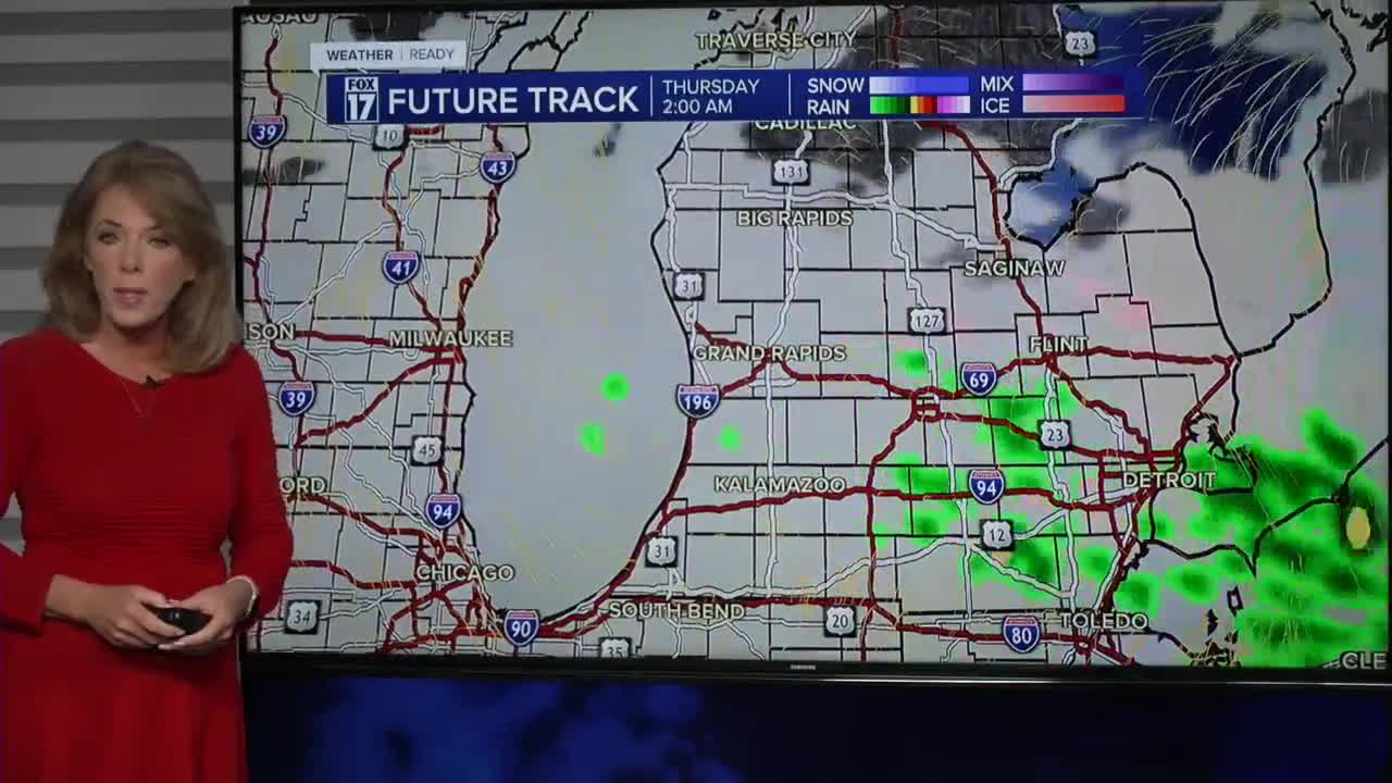
THURSDAY: (CHRISTMAS DAY) Mostly cloudy. Quiet. Highs near 40-degrees Winds: NE 5-10 mph
FRIDAY: Chance for freezing rain or rain. Highs near 40-degrees
SATURDAY: Mostly Cloudy. Highs around 40-degrees
SUNDAY: Chance of rain changing to snow with falling afternoon and evening temperatures. Highs in the mid-30s
MONDAY: Chance snow showers. Sharply colder. Highs in the low-20s.
TUESDAY: Quick cold-shot. Highs in the mid-20s.
WEDNESDAY: Chance few snow showers. High: 30
For the latest details on the weather in West Michigan, head to the FOX 17 Weather page.
Follow FOX 17: Facebook - X (formerly Twitter) - Instagram - YouTube
