
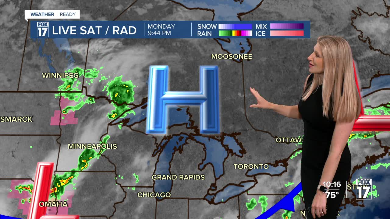


WEST MICHIGAN — The forecast from FOX 17 Weather Ready Meteorologist Kara James: Much of the week ahead will be dry, with only isolated to scattered rain and thunderstorms possible. With no organized system on the way this means many communities will once again stay dry, and the rain deficit will continue to grow. As the humidity returns later this week and into the first part of the weekend ahead of a cold front, a batch of showers and thunderstorms will be possible overnight Friday into Saturday. Afternoon highs will hold in the low to mid-80s through mid-week, with high in the upper 80s later in the week and a shot at 90 degrees Friday. Most of West Michigan could use a soaking rainfall, as the past several week has featured mostly dry conditions, Grand Rapids has over a 2.5" rainfall deficit since the start of May! Stay tuned to the FOX 17 Weather Ready Team for your latest forecast updates.
TONIGHT: Mostly clear and comfortable. Lows in the low 60s. Winds: NW 5-10 mph
TUESDAY: Mostly sunny and pleasant. Highs in the low/mid 80s Winds: SW 5-10 mph
WEDNESDAY: Partly sunny with a chance of showers. Highs in the mid 80s.
THURSDAY: Mostly dry and warmer. Chance isolated shower or storm. Highs in the mid to upper 80s.
FRIDAY: Very warm. Mostly sunny Highs in the upper 80s near 90.
SATURDAY: Very warm and muggy. Chance few showers and storms. Highs in the upper 80s.
SUNDAY: Partly cloudy. Chance shower or storm. Highs in the low to mid 80s.
For the latest details on the weather in West Michigan, head to the FOX 17 Weather page.
Follow FOX 17: Facebook - X (formerly Twitter) - Instagram - YouTube
