


WEST MICHIGAN — Sharply colder air will stream into West Michigan tonight creating a perfect environment for heavy Lake Effect Snow Showers in areas mainly west and southwest of Grand Rapids tonight into Monday. Lake effect snow showers will produce locally heavy accumulations in some of our lakeshore counties over the next two days, with Berrien County under a WINTER STORM WARNING for Sunday and Monday, as 6-12" of snow is possible from extreme southwest lower Michigan around the foot of Lake Michigan. A band of locally heavy snow is likely later Sunday into Monday, so travels toward Chicago will become quite hazardous. In addition, a WINTER WEATHER ADVISORY is in effect for Van Buren and Cass Counties and for Oceana and Mason Counties up through Traverse City, as 3-5" of snow is possible in those counties.
TONIGHT: WINTER STORM WARNING (Berrien County) WINTER WEATHER ADVISORY (Van Buren, Cass, Oceana, Mason Counties) Partly cloudy and cold inland. Lake effect snow showers continue West of US-131. Lows near 20.
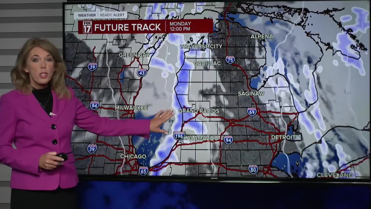
MONDAY: WINTER STORM WARNING (Berrien County — Until 1am Tuesday) Much colder with areas of heavy lake effect snow showers, mainly along/west of U.S. 131. Highs only in the low to mid 30s.
TUESDAY: Mostly cloudy and chilly. Snow showers come to an end early. Highs near 40-degrees.
WEDNESDAY: Partly sunny. Breezy and not as cold. Highs: mid-40s.
THURSDAY: Partly sunny. Breezy. Highs: mid-upper 40s.
FRIDAY: Partly cloudy. Breezy. Highs: low-50s.
SATURDAY: Partly cloudy. Highs in the low-mid 50s.
SUNDAY: Partly cloudy. Chance for a few rain showers Highs in the mid-50s.
For the latest details on the weather in West Michigan, head to the FOX 17 Weather page.
Follow FOX 17: Facebook - X (formerly Twitter) - Instagram - YouTube
