
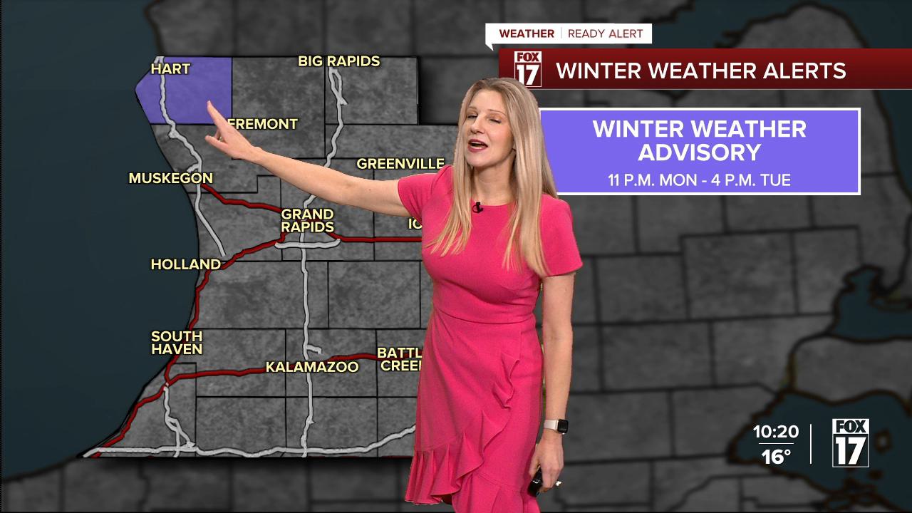


From Fox 17 Weather Ready Meteorologist Kara James: The overall pattern remains unseasonably cold and active this week with multiple chances for snow, particularly Tuesday and Wednesday. A WEATHER READY ALERT has been issued for Tuesday, due to light accumulating snow and impacts for the morning commute. Snow builds in by dawn Tuesday morning, with around 1-3" possible by early afternoon. Another system Tuesday evening / overnight into Wednesday brings a wintry mix, with the best chance of temperatures above freezing and more rain than snow south of I-96. From I-96 and north, it will be all snow. Anywhere there is the changeover to rain, will result in dangerous travel conditions as temperatures crash back below freezing Wednesday night. More on and off snow chances, and slick spots on the roads, are expected into the weekend.

TONIGHT: Clouds build with snow increasing after 2 A.M.. Steady snow towards daybreak. Lows in the middle teens.
TUESDAY: Mostly cloudy with morning snow. Highs in the low 30s. More snow/rain mix builds into the evening hours.
WEDNESDAY: Wintry mix likely with rain & mix in the morning. All snow in the afternoon and evening. Highs in the mid 30s early, falling temps in the afternoon.
THURSDAY: Mostly cloudy with lake effect snow showers possible. Highs in the upper 20s.
FRIDAY: Mostly cloudy and cold. Snow showers late. Highs in the middle 20s.
SATURDAY: Cloudy and cold with highs in the low 20s. Chance snow showers.
SUNDAY: Cloudy and cold with snow showers possible. Highs in the low 20s.
MONDAY: Cold, with chance snow showers. Highs in the low 20s.
For the latest details on the weather in West Michigan, head to the FOX 17 Weather page.
Follow FOX 17: Facebook - X (formerly Twitter) - Instagram - YouTube
