
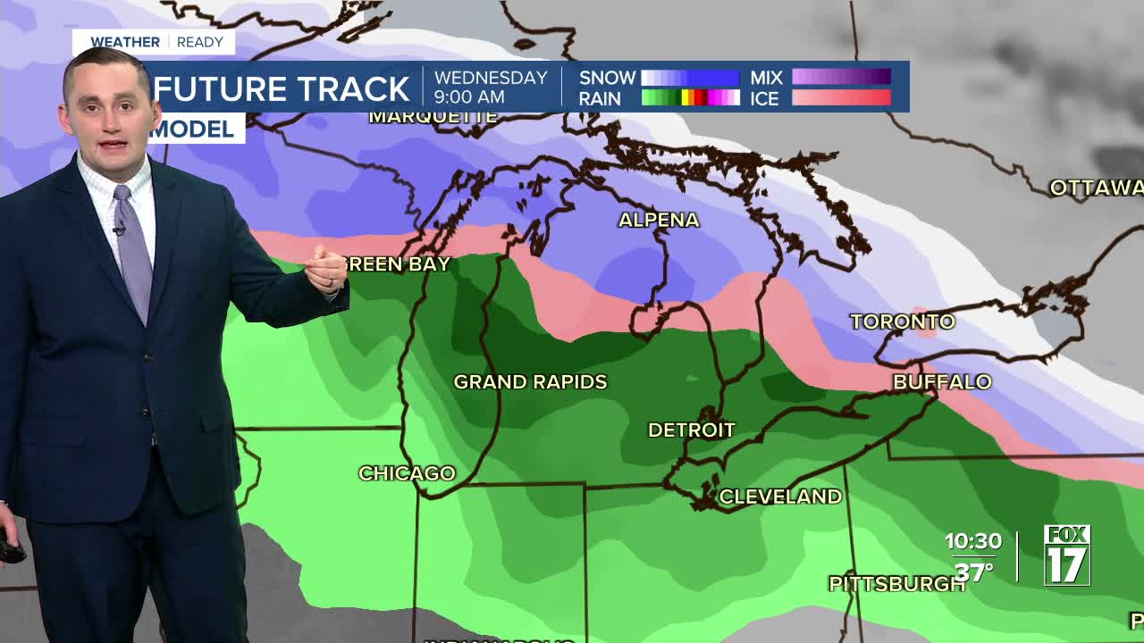


WEST MICHIGAN — From Fox 17 Weather Ready Meteorologist Colton Cichoracki: The melt-down continues this weekend as warmer air takes hold in West Michigan, along with sunshine! Much of the snowpack will likely disappear, with sunshine and highs well above average, into the 40s. Morning temperatures will climb into the 20s and even 30s into early next week as high pressure lingers around. Even warmer air arrives early next week, with mid to upper 40s likely Monday through Wednesday, while continuing to stay mainly dry. The next system to impact West Michigan will be mid to late week next week. Wednesday looks to be all rain, depending on the track of the system. Colder air wraps in on Thursday and Friday and that could lead to a wintry mix or snow as our next system comes in. The track of the low will determine the type of precipitation, which will get ironed out as we get closer to next week.
TONIGHT: Partly cloudy. Lows in the 20s. Winds: SW 5-10 mph
SATURDAY: Mostly cloudy with peeks of sun. Highs around 40. Winds: Variable 5-10 mph
SUNDAY: Mostly sunny. Highs in the low 40s.
MONDAY: Mostly sunny to partly cloudy. Highs in the mid-40s.
TUESDAY: Partly cloudy with highs in the mid-40s. Chance few showers late.
WEDNESDAY: Rain likely. Highs in the mid-upper 40s.
THURSDAY: Mostly cloudy. Chance rain showers. Highs around 40.
FRIDAY: Colder with a wintry mix. Highs in the low 30s.
For the latest details on the weather in West Michigan, head to the FOX 17 Weather page.
Follow FOX 17: Facebook - X (formerly Twitter) - Instagram - YouTube
