


WEST MICHIGAN — The forecast from FOX 17 Meteorologist Laura Velasquez: An upper level low pressure system will deliver rounds of showers and ample cloud cover tonight and tomorrow. On and off rain showers are anticipated for Friday, under cloudy skies. A few rumbles of thunder can't be ruled out. Don't forget your rain jacket for Friday football games. Despite the cloud cover, temps will still rise above 70 degrees for Friday. Even warmer temperatures are expected by the weekend, with highs near 80 degrees on Sunday and Monday. Normal highs for this time of year are in the middle 60s. Your weekend outlook is dry, although clouds may be slow to clear on Saturday. Sunday and Monday will likely be the warmest days of the bunch. Record highs on those days are in the mid 80s, and we won't be too far from that with highs close to 80 in many locations. The next chance for showers arrives late Monday night.
TONIGHT: Cloudy skies with a chance of showers. Lows in the low/mid 60s. Winds east-southeast at 5 to 10 mph.
TOMORROW: Cloudy skies, rain showers likely with a stray storm or two. Highs in the lower 70s. Winds south-southeast at 5 to 10 mph.
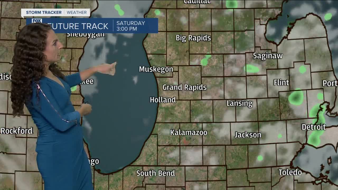
SATURDAY: Becoming partly cloudy. Highs in the middle 70s.
SUNDAY: Partly sunny. Highs in the middle/upper 70s.
MONDAY: Partly sunny. Clouds increasing during the evening. Highs in the middle/upper 70s.
TUESDAY: Mostly cloudy. Chance of showers and a few thunderstorms. Highs in the low/middle 70s.
WEDNESDAY: Partly sunny. Highs in the lower 70s.
For the latest details on the weather in West Michigan, head to the FOX 17 Weather page.
