


WEST MICHIGAN — WEST MICHIGAN — The forecast from FOX 17 Meteorologist Anthony Domol: Rain is likely this evening and tonight and some of it could be heavy. A Flood Watch is posted for Eaton, Calhoun and Eaton Counties to the southeast through Thursday morning. In these locations, near and east of I-69, it's possible 1 to 2" of rain could fall. Farther northwest amounts will be less. By late Thursday, rain will taper to scattered showers and dry conditions will return by Friday morning. Friday will be a warmer day with some sunshine before a fast-moving storm system arrives. That will result in rain showers overnight Friday into early Saturday morning. Most of the daylight hours during the upcoming weekend look to stay dry.
***While we're getting past the main beach season in West Michigan, it's worth noting that Lake Michigan will be quite rough through the week with high waves and strong currents. Beach Hazards are in place for the nearshore and a Gale Warning is in place for the open water.
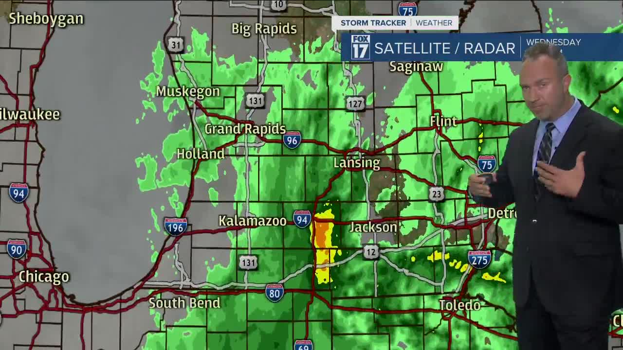
TONIGHT: Cloudy with rain likely as an upper level low pressure system rotates back into the Great Lakes. Lows in the upper 40s. Winds north at 15 to 25 mph.
THURSDAY: Cloudy and breezy with rain, then showers. Highs only in the mid 50s. Winds north-northwest at 15 to 25 mph.
FRIDAY: Partly cloudy and warmer. Showers return for the late evening and overnight as a cold front moves in. Highs near 70 degrees.
SATURDAY: Morning showers, otherwise becoming partly cloudy. Highs in the mid 60s.
SUNDAY: Partly cloudy with a stray shower possible. Highs near 70.
MONDAY: Partly cloudy. Highs in the mid 70s.
For the latest details on the weather in West Michigan, head to the FOX 17 Weather page.
