
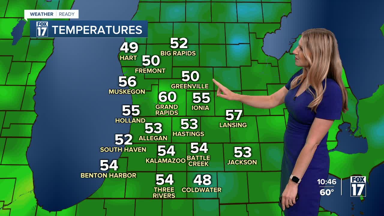


WEST MICHIGAN — The forecast from FOX 17 Weather Ready Meteorologist Kara James: Unseasonably cool air continues flowing into the Great Lakes tonight. Overnight will be chilly in the mid-40s, feeling like late September or early October. Tomorrow will be the warmest day of the week in the mid 70s, but still below average. Average highs this time of year are near 80 degrees. Mornings will also be on the cooler side-upper 40s to mid 50s the next several days. Open those windows overnight! A cold front dropping in from Canada early Thursday morning brings the best chance of rain for the week, with around a quarter inch expected areawide. Rain ends by the early afternoon, so no trouble for high school football games Thursday evening! Temperatures slowly moderate Friday into the holiday weekend, with highs back in the mid to upper 70s and dry conditions. Stay tuned to the FOX 17 Weather Ready Team for your latest forecast updates.
TONIGHT: Cool and quiet. Decreasing cloudiness. Lows in the mid 40s. Winds: NW 5-10 mph
WEDNESDAY: Mostly sunny to partly cloudy and cool. Highs in the low-mid 70s. Winds: W 5-15 mph
THURSDAY: Breezy and cooler with scattered showers. Chance isolated thundershower. Highs near 70-degrees.
FRIDAY: Partly cloudy. Highs in the mid-70s.
SATURDAY: Mostly sunny. Pleasant. Highs in the mid-70s.
SUNDAY: Mostly sunny. Pleasant. Highs in the mid-70s.
MONDAY: (LABOR DAY). Partly cloudy, Highs in the upper 70s.
TUESDAY: Partly cloudy. Highs near 80-degrees.
For the latest details on the weather in West Michigan, head to the FOX 17 Weather page.
Follow FOX 17: Facebook - X (formerly Twitter) - Instagram - YouTube
