

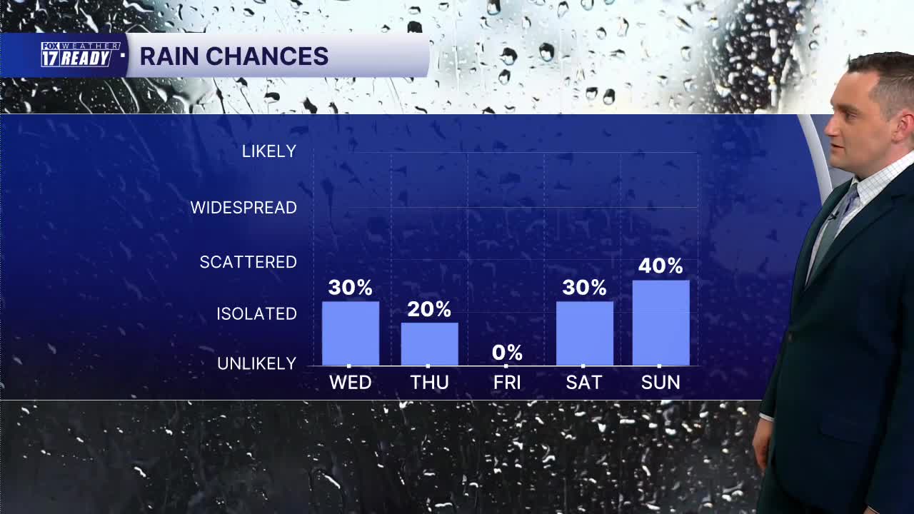


WEST MICHIGAN — The forecast from FOX 17 Weather Ready Meteorologist Colton Cichoracki: Overnight, an isolated shower or storm is possible. Some patchy fog is also expected to develop and will linger into early Wednesday. On Wednesday, an isolated shower or storm is possible. If storms do develop, some could be strong to possibly severe. The Storm Prediction Center does have areas along and north of I-96 in a level one marginal risk for severe storms. Strong winds and hail would be the main threats. Highs Wednesday are in the lower 80s. A stray shower or storm is possible on Thursday but Friday looks dry. Temperatures will remain in the lower 80s. Another system is forecast to come in this weekend with some more rain Saturday night into early Sunday.
TONIGHT: Partly cloudy. An isolated storm is possible late. Patchy fog possible. Lows in the mid 60s. Wind: Light.
WEDNESDAY: Mostly cloudy with chance afternoon thunderstorms. Small chance for strong storms in northern areas. Highs in the low 80s.
THURSDAY: Partly cloudy with chance afternoon thunderstorms. Highs in the low 80s.
FRIDAY: Partly cloudy with highs around 80.
SATURDAY: Partly cloudy with chance showers late. Highs in the upper 70s.
SUNDAY: Partly cloudy with chance thunderstorms. Highs in the upper 70s.
MONDAY: Partly cloudy with highs in the upper 70s.
TUESDAY: Mostly sunny with highs near 80 degrees.
Want alerts when inconvenient or severe weather is headed your way? Download the FOX 17 Weather app and set up notifications for where you live.
For the latest details on the weather in West Michigan, head to the FOX 17 Weather page.
Follow FOX 17: Facebook - X (formerly Twitter) - Instagram - YouTube
