


WEST MICHIGAN — From Fox 17 Weather Ready Meteorologist Kara James: Another round of snow arrives this afternoon and evening with a "Clipper" system, with 1-3" of snow expected. A WINTER WEATHER ADVISORY has been issued for Oceana, Muskegon, Ottawa, Allegan, Van Buren, Newaygo, Kent, Barry and Kalamazoo Counties through 7 a.m. Thursday for 1-3" of snow, with up to 4" of snow possible near the lakeshore. Be prepared for a few slick spots on the roads this evening, tonight, and tomorrow morning. More snow is likely Wednesday, with an additional 1-3" of fresh snow to close out 2025. The overall pattern remains cold through the weekend, which means that even though it wasn't a "White Christmas"; West Michigan will enjoy a "White New Year"! Afternoon highs will run about 10-degrees below average, with highs in the low 20s. With a northwesterly breeze, wind chills will likely hold in the single digits and teens. The pattern becomes less active starting Thursday.
TONIGHT: WINTER WEATHER ADVISORY Snow showers. Lows near 20-degrees. Winds: W 5-10 mph
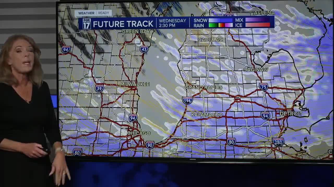
WEDNESDAY: (New Years Eve) WINTER WEATHER ADVISORY Cold with snow showers. 2-5" Likely: heaviest west and southwest of Grand Rapids Highs in the mid-20s Winds: W-NW 10-20 mph
THURSDAY: (New Years Day) Very cold. Highs near 20-degrees
FRIDAY: Mostly Cloudy. Highs in the low 20s.
SATURDAY: Mostly cloudy. Highs in the upper 20s.
SUNDAY: Mostly cloudy. Highs near 30.
MONDAY: Mostly cloudy. Not as cold. Highs in the low 30s.
For the latest details on the weather in West Michigan, head to the FOX 17 Weather page.
Follow FOX 17: Facebook - X (formerly Twitter) - Instagram - YouTube
