
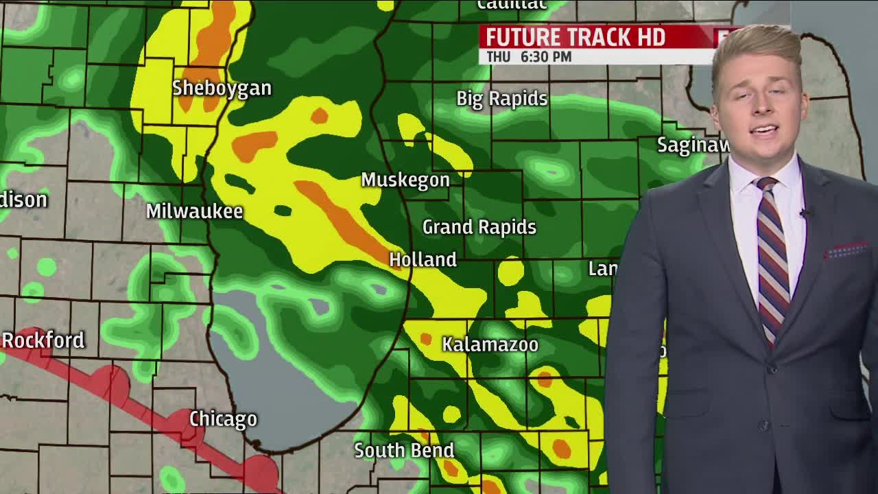


WEST MICHIGAN — The forecast from FOX 17 Meteorologist Erik Kostrzewa: A warm front will briefly move into the area late tonight, but a cold front will quickly follow. This means a complex temperature trend that will feature rising temperatures during the evening, followed by falling temperatures on Friday. Each of these fronts have an opportunity to produce rounds of showers and thunderstorms, with a few being on the strong to severe side between 11 p.m. and 4 a.m. with high winds being the main threat.
TONIGHT: Periods of rain, with a few embedded thunderstorms possible. Some may be strong to marginally severe. Windy. Temperatures will rise into the upper 50s to near 60 by midnight and fall back into the lower 40s by sunrise. South winds at 10 to 20 mph becoming west/northwest at 15 to 25 mph overnight. Winds could gust to 40 mph at times, with higher gusts possible in thunderstorms.
TOMORROW: Mostly cloudy with rain showers possible in the morning. Gusty winds and falling temperatures through the day. Becoming partly cloudy. Temperatures will start around 40 at sunrise, then fall into the middle 30s by late in the afternoon. Northwest winds at 15 to 30 mph with higher gusts.
TOMORROW NIGHT: Mostly clear and cold. Lows around 20. Northwest winds at 10 to 15 mph becoming northeast and subsiding to 5 to 10 mph late.
SATURDAY: Mostly sunny and cool. Highs in the mid to upper 30s. Northeast winds at 5 to 10 mph.
SUNDAY: Partly sunny and cool. Highs in the lower 40s.
