
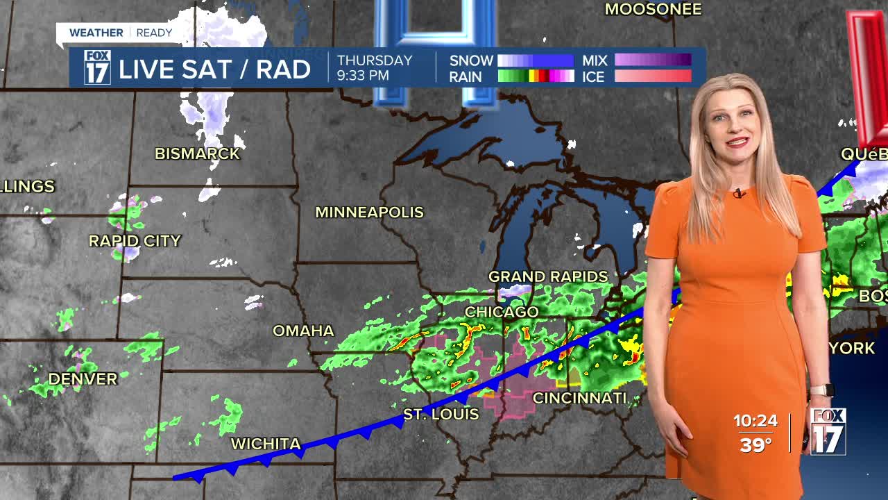


The forecast from FOX 17 Weather Ready Meteorologist Kara James: The severe weather threat is over, with an isolated storm or two possible near the Michigan/Indiana state line through around midnight. Rain will be tapering down during this time as well, as cold air settles in. Get ready for it to briefly feel like late winter again, with tomorrow and Saturday mornings in the 20s. Friday and Saturday will be cool but mainly sunny, with highs back in to the low 40s. Normal highs for this time of year are in the upper 40s. Temperatures warm back into the 50s and 60s through Monday, with an active and warmer stretch starting Tuesday.
TONIGHT: Rain and storms ending after midnight. Gradual clearing and much colder overnight. Lows in the upper 20s. Winds north at 10 to 15 mph.
FRIDAY: Becoming partly cloudy and cooler. Highs in the lower 40s. Winds north/northwest at 5 to 15 mph.
SATURDAY: Mostly sunny. Highs in the low/mid 40s.
SUNDAY: Mostly sunny to partly cloudy and warmer. Highs in the mid 50s.
MONDAY: Partly sunny. Slight chance of showers. Highs in the mid 60s.
TUESDAY: Mostly cloudy and mild with a few showers likely. Highs in the upper 50s.
WEDNESDAY: Cloudy with rain likely, perhaps a few thundershowers. Highs in the mid 60s.
THURSDAY: Cloudy with an isolated shower. Highs in the upper 50s.
For the latest details on the weather in West Michigan, head to the FOX 17 Weather page.
Follow FOX 17: Facebook - X (formerly Twitter) - Instagram - YouTube
