


The forecast from FOX 17 Weather Ready Meteorologist Kara James: Our best chance of rain for the week is now behind us, with another round of chilly air filling in overnight and Friday. Most spots ended up with less than 0.1" of rain, but the highest was an isolated rainfall report in Ionia of 0.5". Lows fall into the 40s overnight, with highs around 70 Friday. Average highs this time of year: upper 70s. Temperatures slowly moderate into the holiday weekend, with highs near 80 by Labor Day. It's a great weekend to be outside and get to the lakeshore one more time. The next chance for rain isn't until mid-week next week. Stay tuned to the FOX 17 Weather Ready Team for your latest forecast updates.
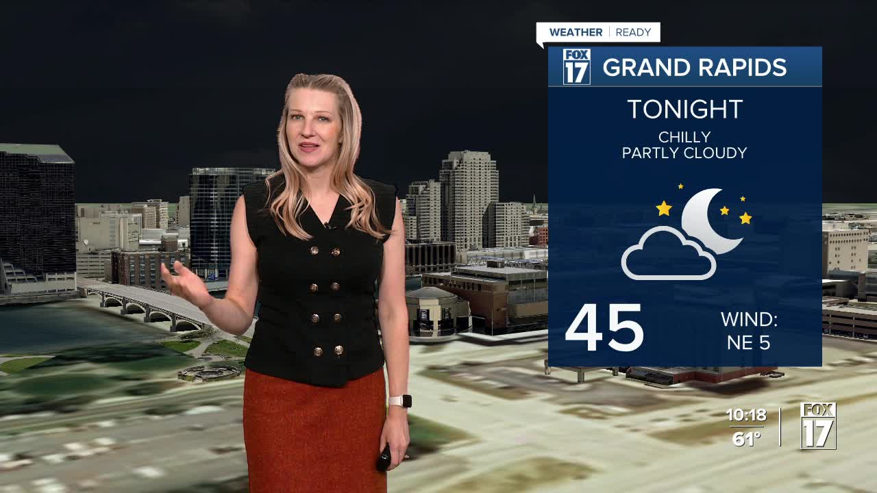
TONIGHT: Mostly clear and chilly. Lows in the mid 40s. Winds north/northeast at 5 to 10 mph.
FRIDAY: Mostly sunny to partly cloudy and cool. Highs in the upper 60s to near 70. Winds northeast/north at 5 to 10 mph.
SATURDAY: Mostly sunny and pleasant. Highs in the lower 70s.
SUNDAY: Sunny and warmer. Highs in the mid/upper 70s.
MONDAY: (LABOR DAY). Partly cloudy, Highs around 80.
TUESDAY: Mostly Sunny. Highs in the low 80s.
For the latest details on the weather in West Michigan, head to the FOX 17 Weather page.
Follow FOX 17: Facebook - X (formerly Twitter) - Instagram - YouTube
