
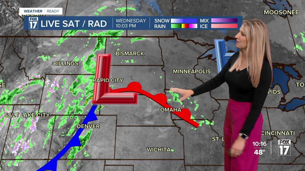


The forecast from FOX 17 Weather Ready Meteorologist Kara James: A clear, chilly night is ahead with lows around 40 and a few inland spots in the upper 30s. A few areas of light frost are possible but many will be just a touch too warm. Cool air and blue skies are ahead for Thursday with low to mid 60s for afternoon highs. Thursday night, a warm front lifts into the region, bringing light rain chances into Friday morning. Highs warm into the upper 60s Friday, as humidity increases. "Average" highs are now in the lower 60s, so this is still above average. Unfortunately, most of the Lower Peninsula remains in a moderate to severe drought. Widespread rain is in the forecast for Saturday, Saturday night, and into Sunday. A few thunderstorms are possible on Saturday as well. Totals will be about a half inch in many spots, with isolated higher amounts. Stay with the FOX 17 Weather Ready Team for your latest forecast updates

TONIGHT: Clear and cool. Lows in the upper 30s to near 40. Winds northeast/east at 5 to 10 mph.
THURSDAY: Sunny and pleasant. Highs in the mid 60s. Winds east at 5 to 10 mph.
FRIDAY: Partly sunny to mostly cloudy. Chance of showers early as a warm front lifts through the state. Highs in the upper 60s.
SATURDAY: Cloudy with rain showers likely. Some thunderstorms possible. Highs around 70.
SUNDAY: Cloudy and cooler with a chance of morning rain showers. Highs in the low 60s.
MONDAY: Mostly sunny to partly cloudy. Highs in the upper 50s.
For the latest details on the weather in West Michigan, head to the FOX 17 Weather page.
Follow FOX 17: Facebook - X (formerly Twitter) - Instagram - YouTube
