


The forecast from FOX 17 Weather Ready Meteorologist Kara James: Much colder air is flowing in to the Great Lakes behind yesterday's cold front. We got some much needed rain with that system, around half an inch to an inch! That was the first rain in 13 days. This cool airmass will be settling in for the rest of the week, dropping highs into the "seasonable sixties", with chilly mornings. Mecosta and Newaygo Counties are under a Frost Advisory for early tomorrow morning, but widespread areas of frost are possible Wednesday night into Thursday morning. It looks to be a mainly dry week ahead with a gradual warm up into the weekend. Make sure to stay with the FOX 17 Weather Ready Team for your latest forecast updates.

TONIGHT: Becoming mostly clear and chilly. Lows in the upper 30s to near 40. Patchy frost in outlying locations possible. Winds north at 5 to 10 mph.
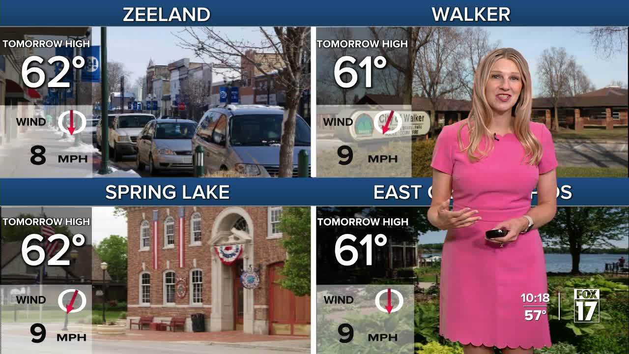
WEDNESDAY: Mostly sunny to partly cloudy and cool. Highs in the lower 60s. Winds north at 6 to 12 mph.
THURSDAY: Areas of morning frost possible, otherwise mostly sunny to partly cloudy and cool. Highs in the lower 60s.
FRIDAY: Mostly sunny to partly cloudy. Chance of an isolated P.M./night shower. Highs in the mid 60s.
SATURDAY: Mostly sunny to partly cloudy. Highs in the upper 60s.
SUNDAY: Mostly sunny to partly cloudy and pleasant. Highs in the low 70s.
For the latest details on the weather in West Michigan, head to the FOX 17 Weather page.
Follow FOX 17: Facebook - X (formerly Twitter) - Instagram - YouTube
