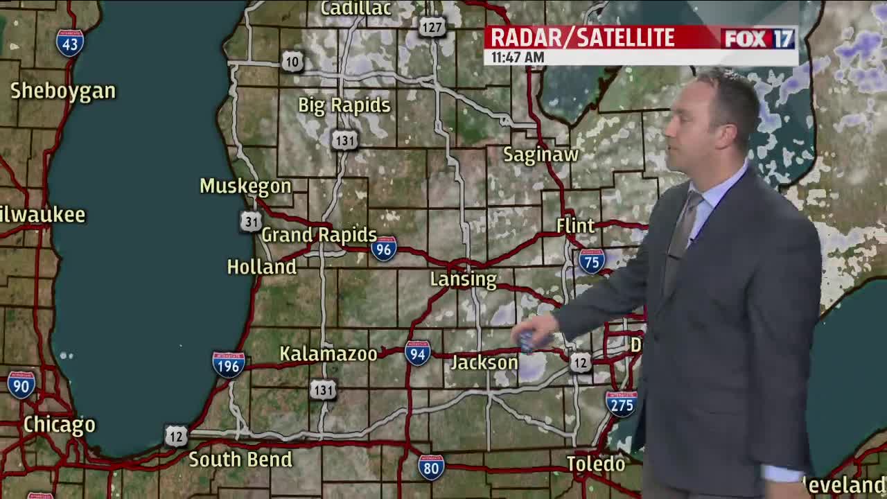
WEST MICHIGAN — We continue to track a weather disturbance for overnight tonight into Friday morning that looks to bring accumulating snow to a portion of the West Michigan viewing area.
Low pressure is to track from Kansas into central Missouri, downstate Illinois, and then southern Indiana and Ohio as we work through the next 24-36 hours. An area of snow to the north of this low pressure system will continue to work in our general direction arriving in southwest Michigan in the overnight period tonight.
Will all of us see a healthy dose of snow through Friday morning? The answer is going to be no, but there will be a period of notable accumulating snow from say between 4/5 A.M. and 12/1 P.M. for sections around I-94 and especially southward to the Indiana line.
A couple inches or so of sloppy snow can be expected for Kalamazoo and Battle Creek with as much as three inches or so for the counties adjacent to Indiana, particularly Cass, St.Joseph, and Branch counties. A few locations right along the Indiana line could squeeze out closer to 4 inches. Further northward toward Grand Rapids, likely only a new dusting/coating of snow gets laid down, meaning less than an inch and perhaps less than half an inch.
As it stands right now, the heaviest snow that this system has to offer is likely to fall just south of the state line and this is where Winter Weather Advisories have been put in place by the National Weather Service for Friday morning.
These advisories account for an expectation of 3"-6"across Northern Indiana so obviously conditions will deteriorate as you head southward. Nevertheless, watch your driving anywhere from just north of the I-96 corridor and southward on Friday morning as slippery roadways will be a possibility near Grand Rapids and a likelihood from around Kalamazoo and southward. Activity will completely shift out of the region by late afternoon Friday.


