
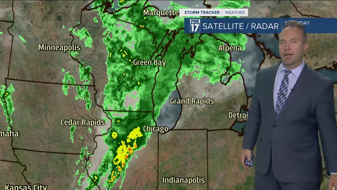


WEST MICHIGAN — A wet Saturday afternoon and evening is to shake out here with rain developing early-mid afternoon from west to east across the viewing area. We look for temperatures to jump into the low 70s as rain arrives. Southeast to south winds will show a slight breeze at 5-15 mph today.
Eventually a push of more humid air gets in here late day and more especially this evening and that will allow for a few rumbles of thunder and strikes of lightning particularly to the south and to the east of Grand Rapids.
Some heavier downpours can be included within the pattern of rain later today and tonight but rain amounts will not be excessive. General rain totals will be on the order of .25" - .75" across West Michigan with the highest totals perhaps checking in to the south of Grand Rapids.
Rainfall exits the scene early Sunday morning leaving a general partly to mostly cloudy picture around daybreak. Better sunshine will mix with the clouds as the afternoon unfolds. Breezy west to northwest winds at 10-20 mph with some higher gusts will have waves along the Lake Michigan shoreline on the order of a few feet.
High pressure builds through the early week stretch encouraging sunshine and eliminating rain prospects. More of a partly cloudy sky on Monday will become mostly sunny for Tuesday and Wednesday. Temps will warm to near 80 degrees on Wednesday before a Thursday cold front knocks us back into cooler territory for the end of the week.
